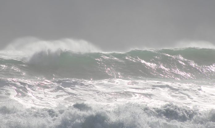
A strong wind warning has been issued for Sunshine Coast waters for the next three days and the Bureau has revised its rain predictions for the region.
We can expect easterly winds reaching 25-30knots (46 km/h to 55 km/h) until later in the week and seas of 2m-3m.
Meteorologists say a trough near K’gari (Fraser Island) is likely to dissipate during Tuesday, but the region could still expect 45mm to 80mm of rain.
Wednesday is likely to see 45-60mm, increasing from late morning, Thursday slightly less than that before Friday heralds what could be our rainiest day of the week with a total of 80mm, but possibly more due to the threat of thunderstorms.
The Bureau says this weather will come from another trough developing near the North Tropical Coast that is likely to move south across central and southern Queensland during Thursday and Friday.
The good news is conditions will ease to showers on Saturday with Sunday only tipped to see a shower or two and lighter winds, allowing washing to go back out on the line.
EARLIER
Up to 400mm of rain is expected to fall across the Sunshine Coast this week, but the region will be spared the worst of a rare May weather event.
Central Queensland, the central interior and central coast are all set to receive 10 times their monthly average, while the interior and southeast are also bracing for significant falls all the way through to Saturday.
Predicted Sunshine Coast totals are 25mm to 80mm Monday with the chance of a thunderstorm, 30-70mm Tuesday, 50-80mm Wednesday, 25-50mm Thursday, 30-60mm Friday, 4-20mm Saturday and easing Sunday.
The reason for the prolonged deluge, according to the Bureau of Meteorology, is a high pressure system in the Tasman Sea that will essentially trap two rain-laden troughs across Queensland.
One trough is coming from the interior and another from the state’s north.
As they can’t move on, they are expected to sit and “rain themselves out”.
“It’s like nature is working against us,” Bureau of Meteorology senior meteorologist Felim Hannify said.

“There’s going to be widespread rainfall basically across the entirety of the state,” Mr Hannify said.
“The real event starts to ramp up particularly from Tuesday to Wednesday.”
Mr Hannify warned parts of the state were already saturated and flooding presented a threat to lives and livestock.
During the worst of the weather Queensland’s central coast region could be hit with up to 300mm of rain within six hours, along with damaging winds.
Police are warning people to avoid unnecessary travel, including for holidays or work, with the downpours expected to begin from Tuesday.
The wild autumn was predicted by respected long-range forecaster Hayden Walker in his autumn analysis published by Sunshine Coast News in early March.
Mr Walker, a fourth-generation forecaster and son of world-famous weather expert Lennox Walker, forecast power-packed winds, large seas in April and a deluge leading to flooding in May.
“Rainfall during May will be heavy in the South-East and Far North Coast during the first half of the month. Adjoining areas to the South-East, including border areas, will also be affected with flooding,” he said in March.
Queensland boaties and waterside residents have been warned to secure their vessels and property due to the severe weather.
Maritime Safety Queensland General Manager, Kell Dillon, said the boating community needed to be prepared.
“We saw what happened in South-East Queensland during the February-March floods when many vessels and pontoons broke away from their moorings to cause damage downstream,” Mr Dillon said.
“We really don’t want a repeat of that, so owners of boats at moorings would be well advised to ensure their lines are well maintained and can ride out strong winds and high tides.
“They should strive to ensure their vessels can’t break free to damage others, become a navigation hazard or threaten nearby properties.
“Wherever possible that also applies to private waterside infrastructure such as pontoons and walkways.”
Mr Dillon said any boaties planning an outing over the coming week would be wise to reconsider.


