
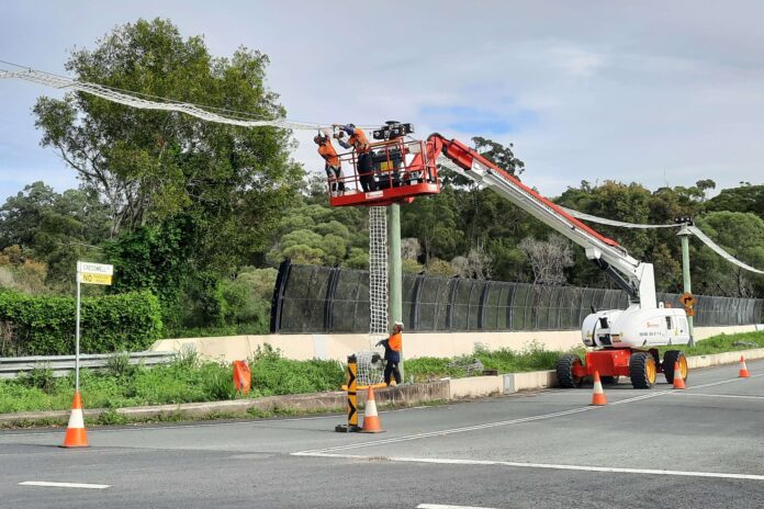
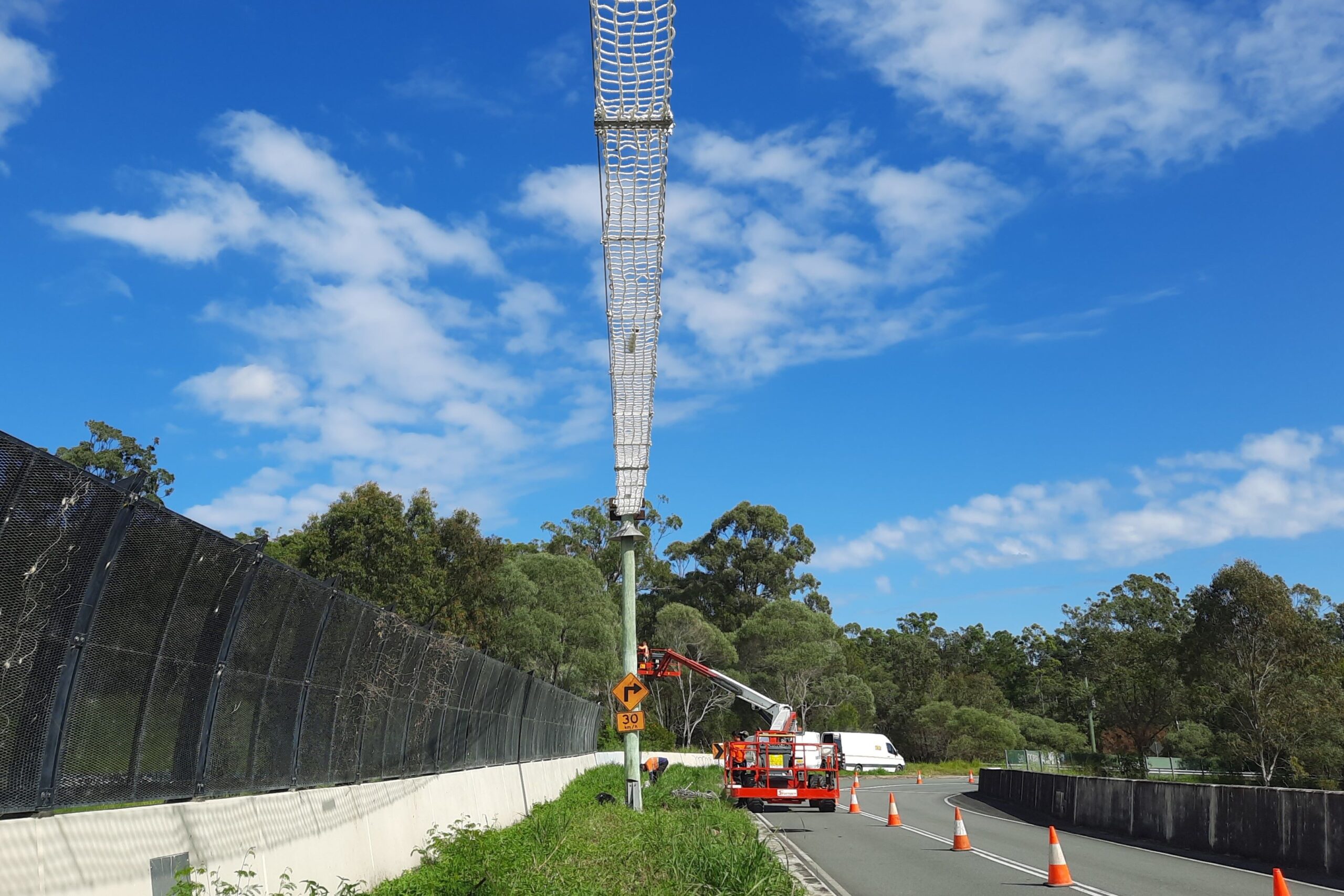
A 130m long rope bridge that acts as a wildlife corridor for native animals such possums and squirrel gliders has been repaired.
The rope bridge along the Cresswell Road overpass above Caloundra Road at Meridan Plains has been replaced with new and durable ladder-style rope netting.
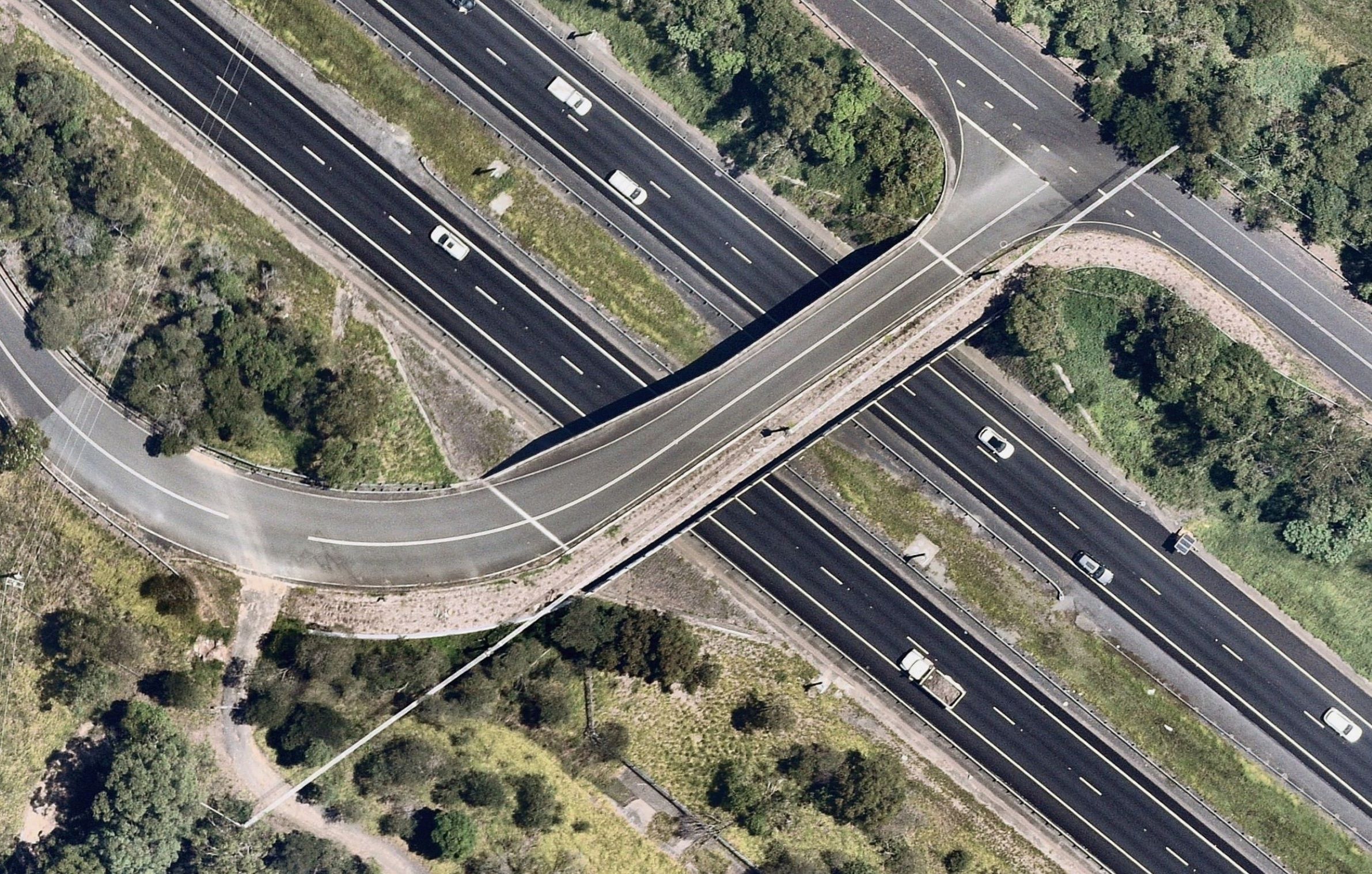
The rope bridge is part of the road overpass that connects habitats south of the bridge, such as Edward Corbould Environment Reserve, Bobbie Sattler Nature Refuge and the Caloundra Conservation Park, with reserves to the north. These include the Honey Farm Road Environment Reserve and the Mooloolah River floodplain.
Thousands of motorists pass beneath the bridge daily, unaware of its role for animals such as insects, frogs, reptiles and small mammals such as echidnas, which use a vegetated section of the bridge at ground level.
It’s the only one of its kind on the Sunshine Coast.
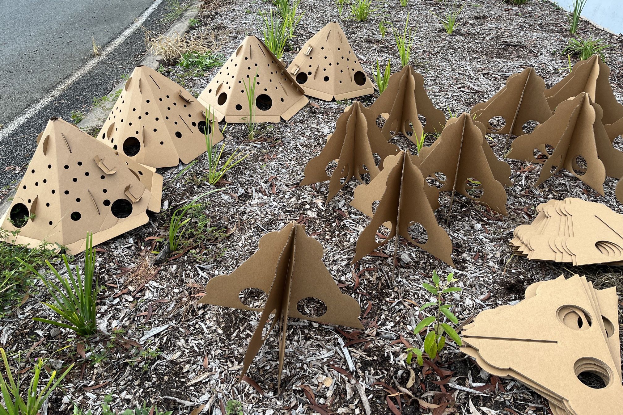
Other recent work completed by Sunshine Coast Council included adding tiny tepee homes to help shelter wildlife from predators as they cross the bridge.
The vegetated section was also weeded and replanted with 530 native plants, and logs and rocks were placed on the land bridge for extra habitat.
The tiny biodegradable teepee-shaped cardboard structures are to provide temporary wildlife habitat until the native plants mature.
These pods, created by wildlife ecologists at ReHabitat, will biodegrade over time, enriching the soil and promoting vegetation regeneration.
Environment and Liveability Portfolio councillor Tim Burns said the project was vital for connecting habitat for wildlife across the region.
“We know wildlife moves across the region and our team at council has undertaken studies to understand this further,” Cr Burns said.
“Our surveys have shown that the Cresswell Road bridge is used by a large variety of native animals as safe passage over the busy Caloundra Road.
“It provides a crucial north-south connection across what would otherwise be a significant barrier to their movement.
“This is the only fauna land bridge on the Sunshine Coast, making it a critical infrastructure for wildlife movement and landscape connectivity.
“This type of structure can accommodate the movement of a wide range of native animals, to help them thrive in our biosphere.
“This project is just one of the ways council is working to nurture and enhance our environment and quality of life.
“The cost to build a land bridge on its own is very high so integrating them into existing infrastructure where able makes sense.
“There are several locations across the region where land bridges would be great for wildlife and council continues to investigate options to bring more bridges to life.”
The aerial imagery in this story is from Australian location intelligence company Nearmap. The company provides government organisations, architectural, construction and engineering firms, and other companies, with easy, instant access to high-resolution aerial imagery, city-scale 3D content, artificial intelligence data sets, and geospatial tools to assist with urban planning, monitoring and development projects in Australia, New Zealand and North America.