
A section of busy beach road is about to have its speed limit reduced as part of an intersection makeover.
Upgrades worth $1 million will be made at the corner of David Low Way and Scrub Road at Coolum Beach, to ensure safer pedestrian access.
The works will include a new pedestrian refuge and a dedicated right-turn lane into Scrub Road.
State MP for Ninderry Dan Purdie said the revamp was much needed.
“The community have been calling for better pedestrian access in this area for some time, so it’s great to see these important safety upgrades finally get underway,” he said via a media release.
The speed limit will change from 60kmh to 50kmh for about 525m along David Low Way, from Scrub Road to south of the Mona Vista Court intersection, extending the 50kmh zone that is current along the beachfront of the Coolum town centre.
Mr Purdie said works would include minor shoulder widening, realigning footpaths and kerb ramps, updating line marking and signage, new street lighting and speed signage.
Do you have an opinion to share? Submit a Letter to the Editor at Sunshine Coast News via news@sunshinecoastnews.com.au. You must include your name and suburb.
He said he was pleased to learn the new lighting would be installed at a lower height to minimise potential impact on nesting turtles and other beachside fauna.
“We have a responsibility to do everything we can to help protect our precious coastal environment and it’s vital we get the balance right when it comes to essential infrastructure upgrades to support our growing community,” he said.
The work, which will get underway in coming weeks, will be done primarily between 6pm and 6am, Sunday to Thursday, and is expected to take two months to complete, weather permitting.
During construction, the Wilkinson Park bus stop will be temporarily located to the northern side of the intersection.
The project is one of two key road upgrades that has just been announced for Coolum Beach.
A busy roundabout near Coolum State School will be replaced by a signalised intersection as part of a $5 million revamp. Mr Purdie was involved in a long campaign for it, with stakeholders including Coolum State School and its P&C, and Coolum Business and Tourism.
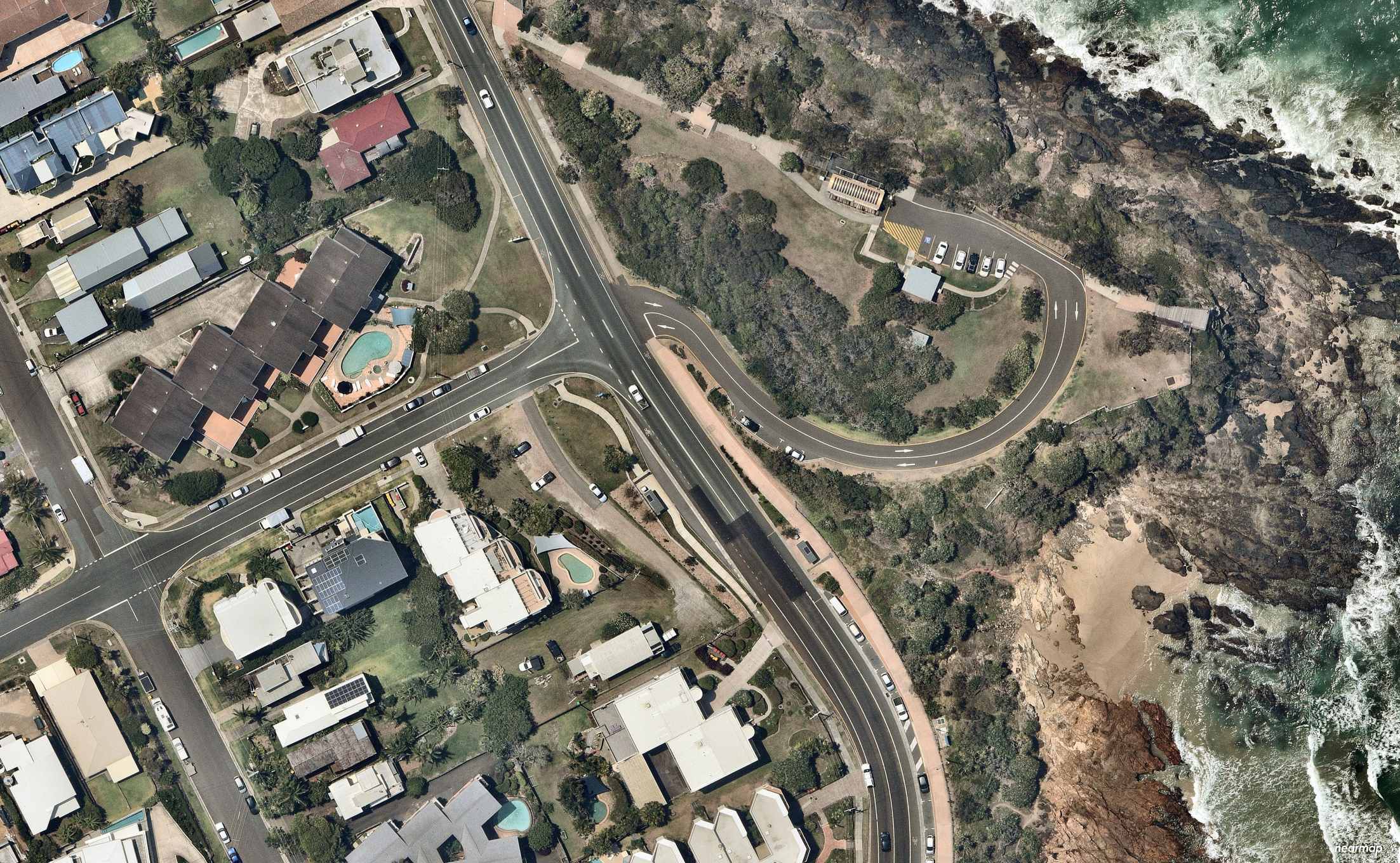
The aerial imagery in this story is from Australian location intelligence company Nearmap. The company provides government organisations, architectural, construction and engineering firms, and other companies with easy, instant access to high-resolution aerial imagery, city-scale 3D content, artificial intelligence data sets, and geospatial tools to assist with urban planning, monitoring and development projects in Australia, New Zealand and North America.
Scroll down to SUBSCRIBE for our FREE news feed, direct to your inbox daily.
