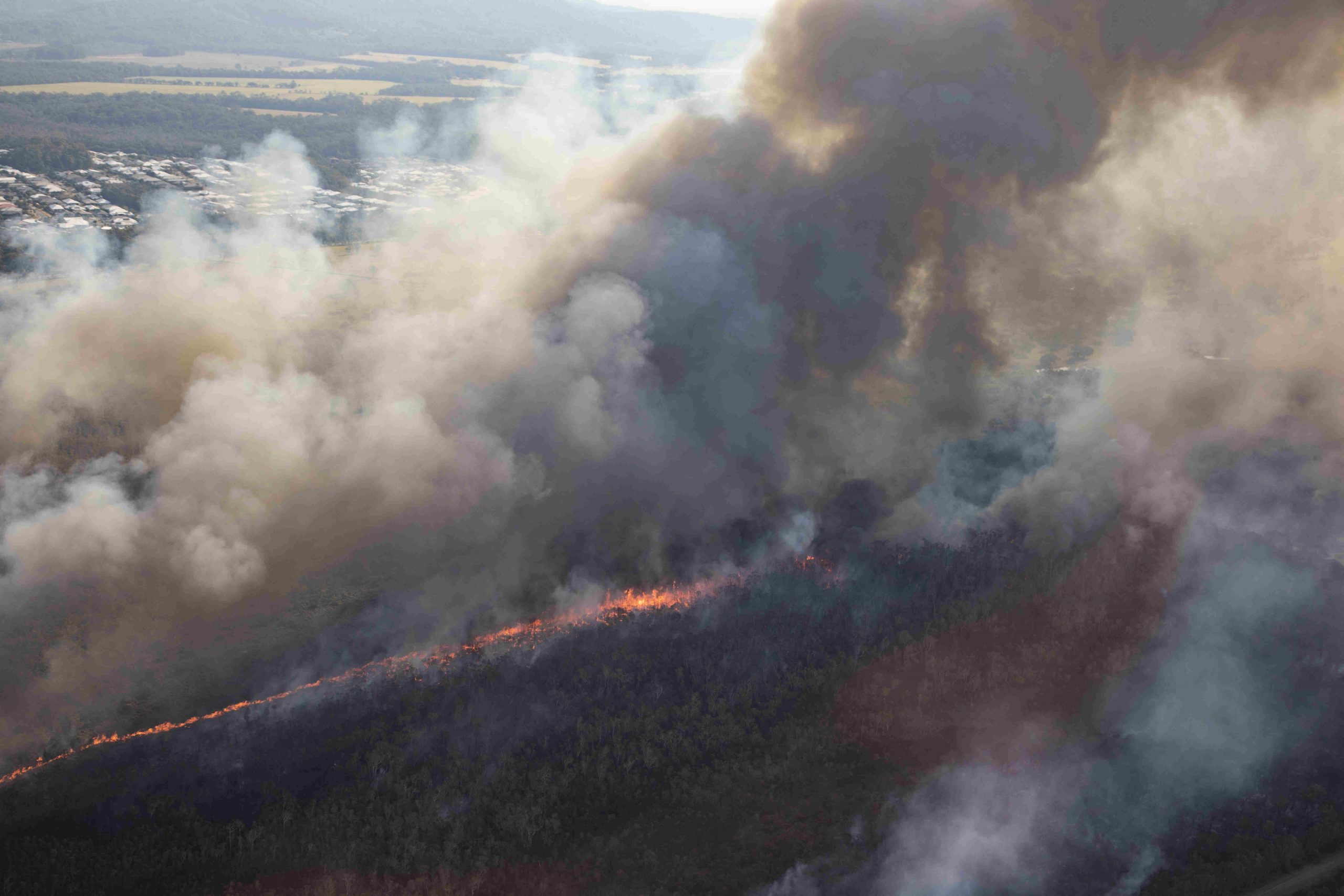
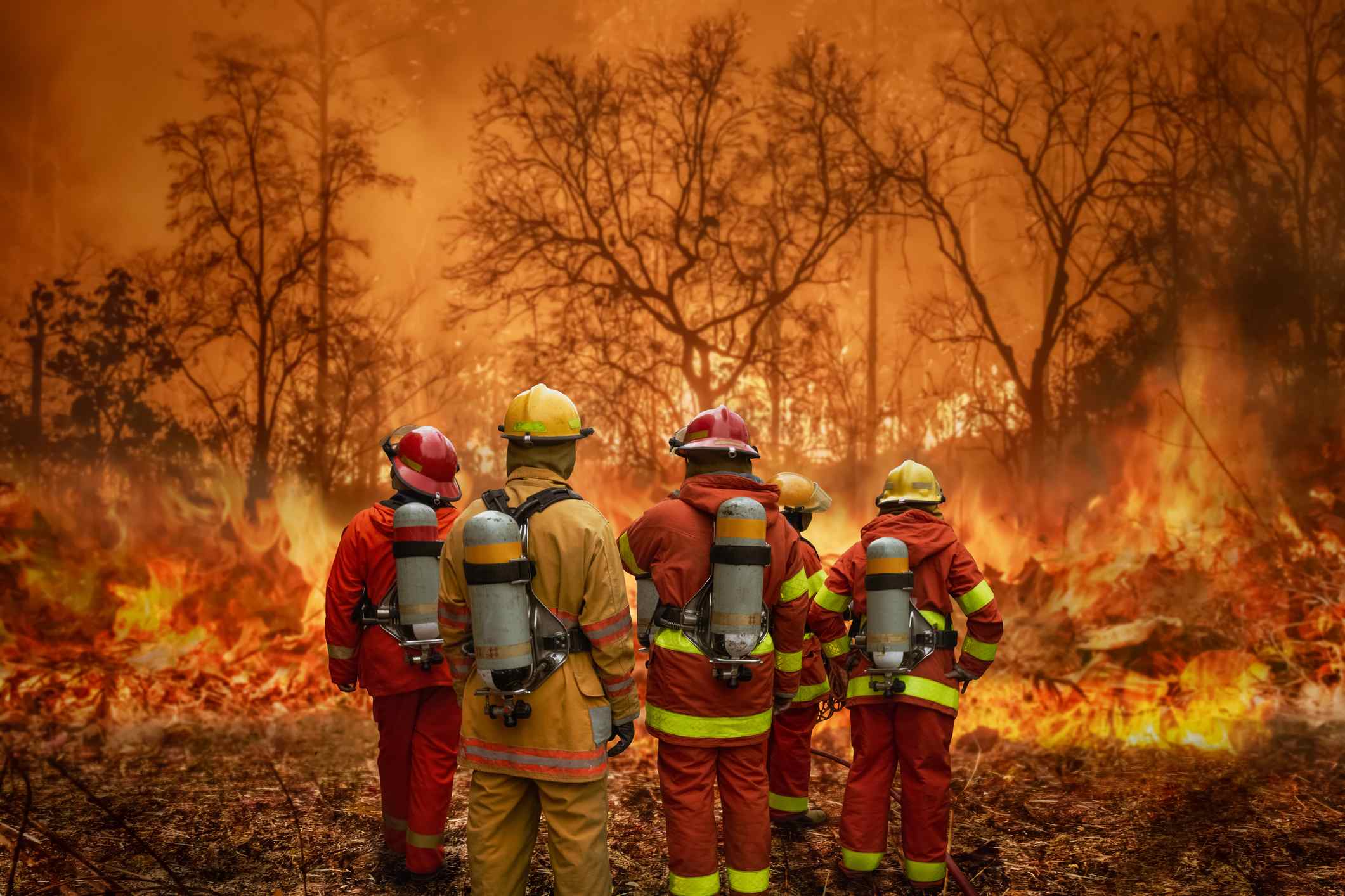
We’ve seen TV images of devastating wildfires in Canada, Greece and, more recently, Maui, and the cost to human life and habitat.
July was the world’s hottest month on record, characterised by intense and repeated heatwaves across southern Europe, South-East Asia, Northern Africa and the United States.
In mid-August, Australia’s Bureau of Meteorology (BOM) issued an El Nino alert, asserting a 70 per cent likelihood this weather pattern, which is typically associated with drought and bushfires in Australia, would be declared in the coming weeks.
According to BOM, El Nino and La Nina are the strongest influences on year-to-year climate variability in Australia.
They’re part of a natural cycle known as the El Nino-Southern Oscillation and are associated with a sustained period (over many months) of warming (El Nino) or cooling (La Nina) in the central and eastern tropical Pacific.
So, after three consecutive years of La Nina (wet), should people be worried about an increased fuel load on the Sunshine Coast and the drying effects of a possible El Nino event?
Sunshine Coast Council’s disaster management lead Wayne Sunderland said that while bushfires can happen at any time of the year, the Coast’s peak is during late spring to early summer, with the danger increasing after a dry winter.
“When we have strong, hot and dry westerly winds, the worst conditions are along the coast,” he said.
“During periods of drought and in very hot, windy weather, even green foliage and large trees can become dry and flammable.”
Rural Fire Service (RFS) area director Sunshine Coast Andrew Allan believes the bushfire risk in the region this year will be minimal because there is plenty of moisture in the soil at present.
“The real threat will be the 2024 season, if El Nino kicks in and makes the fuel load tinder dry, like it was in the lead-up to the horror bushfire seasons of 2019 and 2020,” he said.
“That’s not to say we won’t get fires. We’ll always get fires, but the intensity of fires this year should be relatively easily contained and controlled.”

Mr Allan said that because of the moisture in the soil, forest fuels (wherever vegetation occurs) will hold that moisture.
However, because we’ve been in La Nina for the past three years, there’s an abundance of fuel in grassland areas.
“In the event we get some grassfires, which we will, they’ll probably be a bit larger than what we’d normally expect,” he said.
“With the situation in Canada, it had been very dry for the two years leading up to their catastrophic fire events.
“They have different fuel structures and it burns differently: it burns down below the surface and pops up a month later in another spot and it goes up a tree and away we go again.
“So, it’s very, very difficult to contain over there.”
Mr Sunderland said that while the Sunshine Coast does not have the same preconditions of extreme heat and high wind that these overseas locations are experiencing, the season was expected to start soon and everyone was urged to be prepared.
The council’s Get Ready program is one way for people, families and organisations to plan for the worst and know how to respond in the event of a disaster.
“As we can see from the circumstances overseas and closer to home during the summer 2019 fires, bushfire is unpredictable, rapidly changing and evacuations or other protection measures can occur very quickly,” Mr Sunderland said.
“Traditionally, areas within proximity to bushland, or with overhanging trees, are at a higher risk from bushfire.”

The council has developed a bushfire hazard overlay for the Disaster Hub which everyone can access, allowing residents to assess the level of risk for their own properties.
Mr Sunderland urged all residents to have an emergency/evacuation plan.
That included practising getting ready and talking through what happens during evacuations with children or vulnerable people.
“Rehearsing your plans and practising does a lot to reduce anxiety and gives people confidence that they know what to do in a real emergency,” Mr Sunderland said.
“Preparation reduces the impact and increases resilience, should a bushfire occur.”
The RFS has said “we’ve probably negated some of the potential for it to be severe” due to extensive hazard mitigation (back-burning) done so far this year.
Mr Allan chairs the Coast’s Area Fire Management Group, which met in March to identify high-risk areas and what mitigation activities could be done to reduce the fire impact in the community.
He said there were five to eight spots around Noosa (Weyba Lakes area), the Glass House Mountains and pockets of land on the Coast east of the Bruce Highway where mitigation works have been done and were still in progress.
He stressed that now was the time to start to prepare properties, not when bushfires start.
“Generally, what causes structures (such as houses) to burn down, it’s not the actual direct contact with flame, it’s the ember attacks getting up under leaves,” he said.
“Gutters catch leaves and when we get ember attacks, it’s those leaves that light up. Clear leaves out of gutters, clear debris or flammable things in your yard, and if you have excessive fuel on your property, look at reducing the fuel.
“It doesn’t have to be burnt out.
“There are other ways like slashing or putting animals in there.
“There are a variety of ways you can reduce your fuel.”

Bushfire ready
To find out about your home’s level of risk, check the Rural Fire Service postcode checker.
Prepare your household
It’s important that your household has a bushfire survival plan, so everyone knows what to do in the event of such an emergency.
If a fire is on its way, you may have as little as five minutes to leave your home safely.
Now is the time to pack an evacuation kit for every member of your household, so you’re able to leave at a moment’s notice.
You can create a bushfire survival plan with your family and find out what essential items your evacuation kit should include at QFES – Bushfires.
Prepare your property
An unprepared property is not only hard to defend and save, it also presents an increased danger for neighbours.
- Clear leaves, twigs and other debris from your roof and gutters.
- Remove dead leaves and branches from the ground.
- Trim low-lying branches two metres from the ground surrounding your home.
- Conduct maintenance checks on pumps, generators and water systems.
- Mow your grass regularly.
- Display a prominent house or lot number and ensure there is access for fire trucks.
- Check your insurance policy is up to date and call your insurer to make sure you have adequate cover.
Tune into warnings
For current bushfires and warnings, go to QFES – Bushfires, the best way to stay informed and make decisions early about yourself and protection for your family.
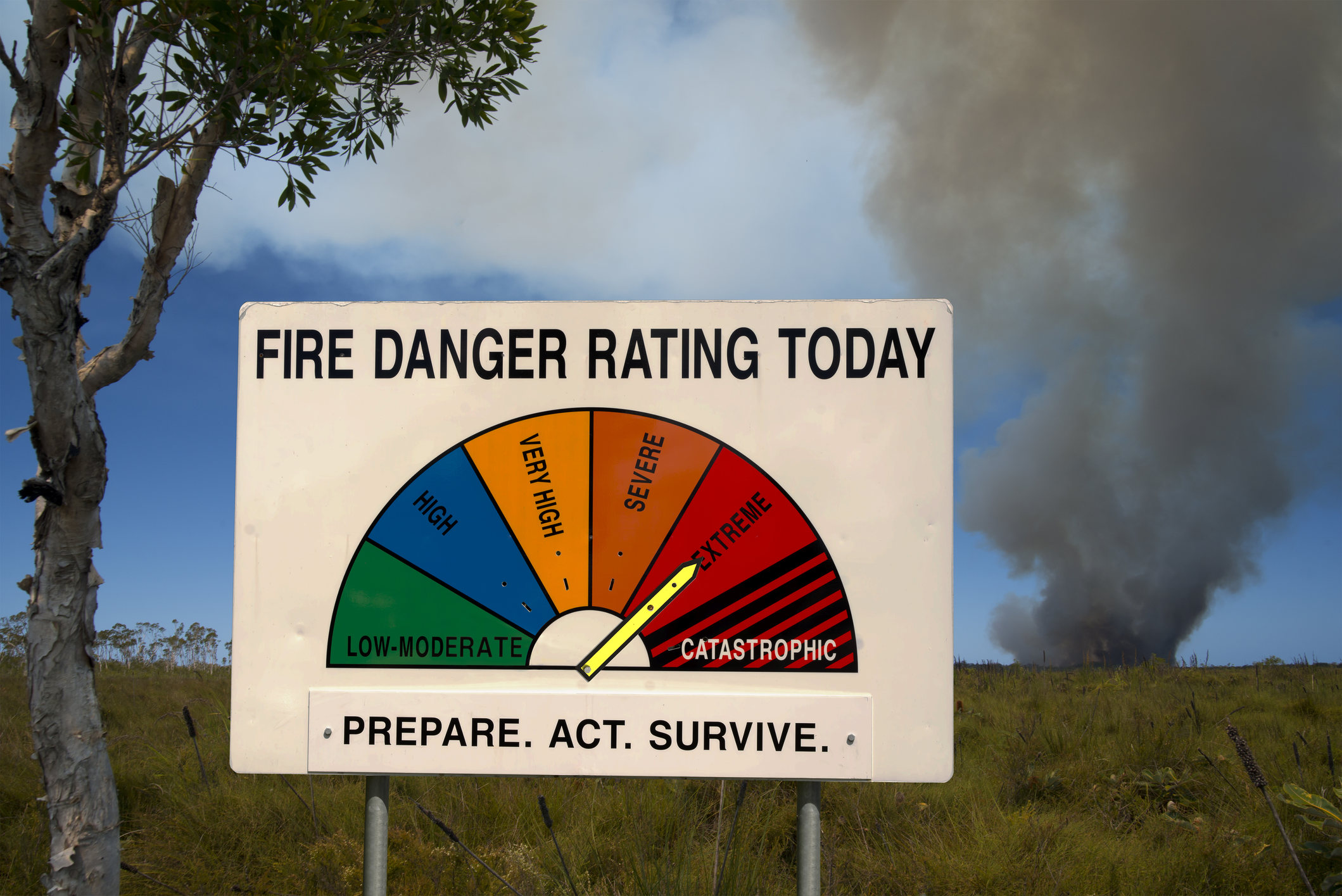
Emergency alerts and warnings are shown on both the QFES and council Disaster Hub websites. The Australian Fire Danger Rating System informs the community about the severity of a fire.
Ratings are calculated by combining weather forecasting and information about vegetation that could fuel a fire.
Subscribe to our FREE daily news feed. All it requires is your name and email at the bottom of this article.


