
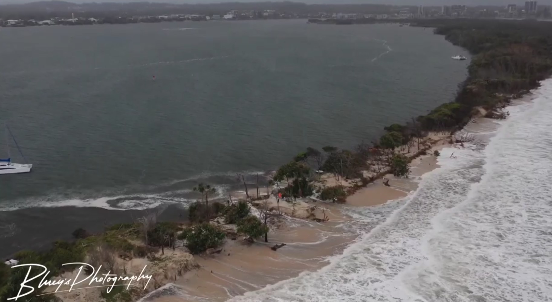
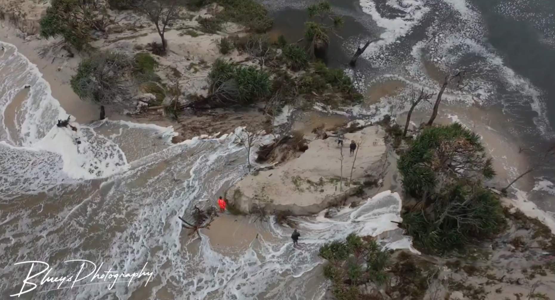
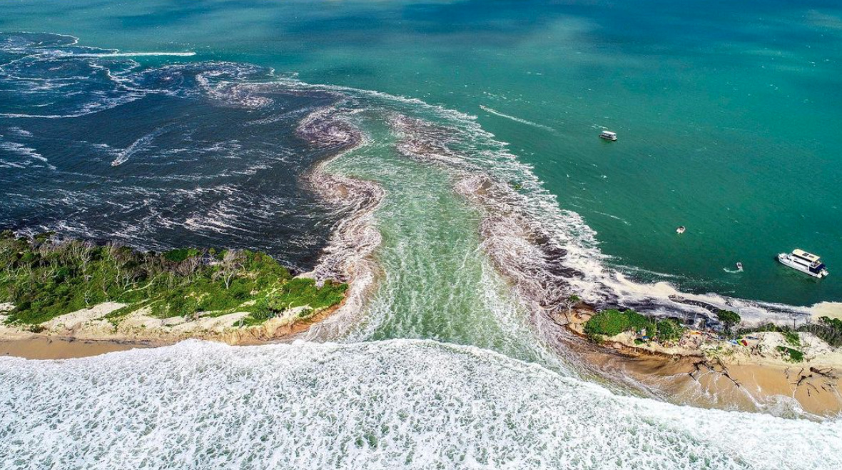
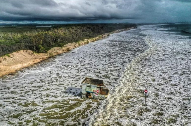
When a trickle of water started snaking through the sand dunes of Bribie Island a little more than a year ago, it represented the start of a wild series of events.
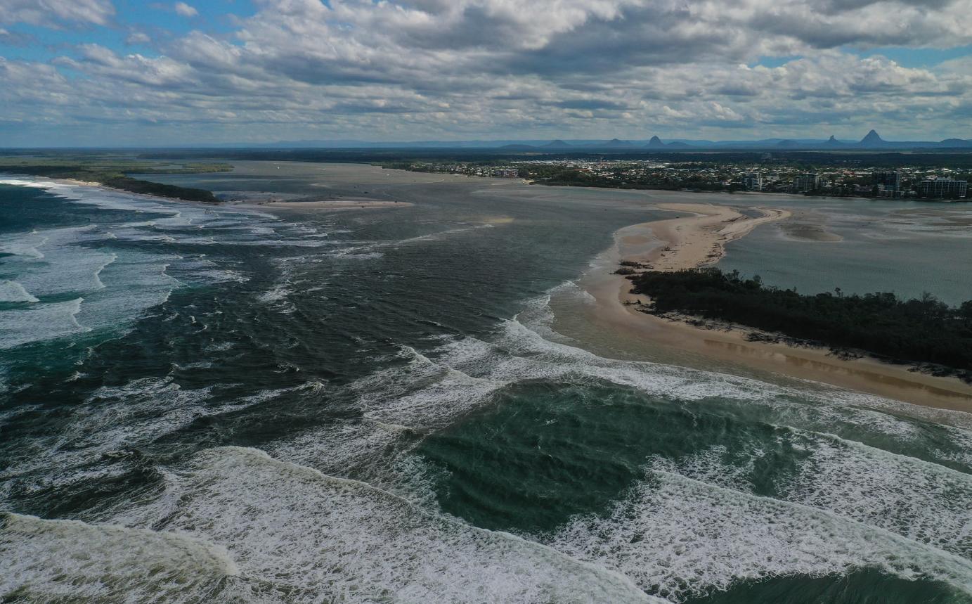
The stream that infiltrated the isle in late December 2021 quickly evolved into a torrent of waves crashing right through the island in early January 2022.
Scroll down for photos
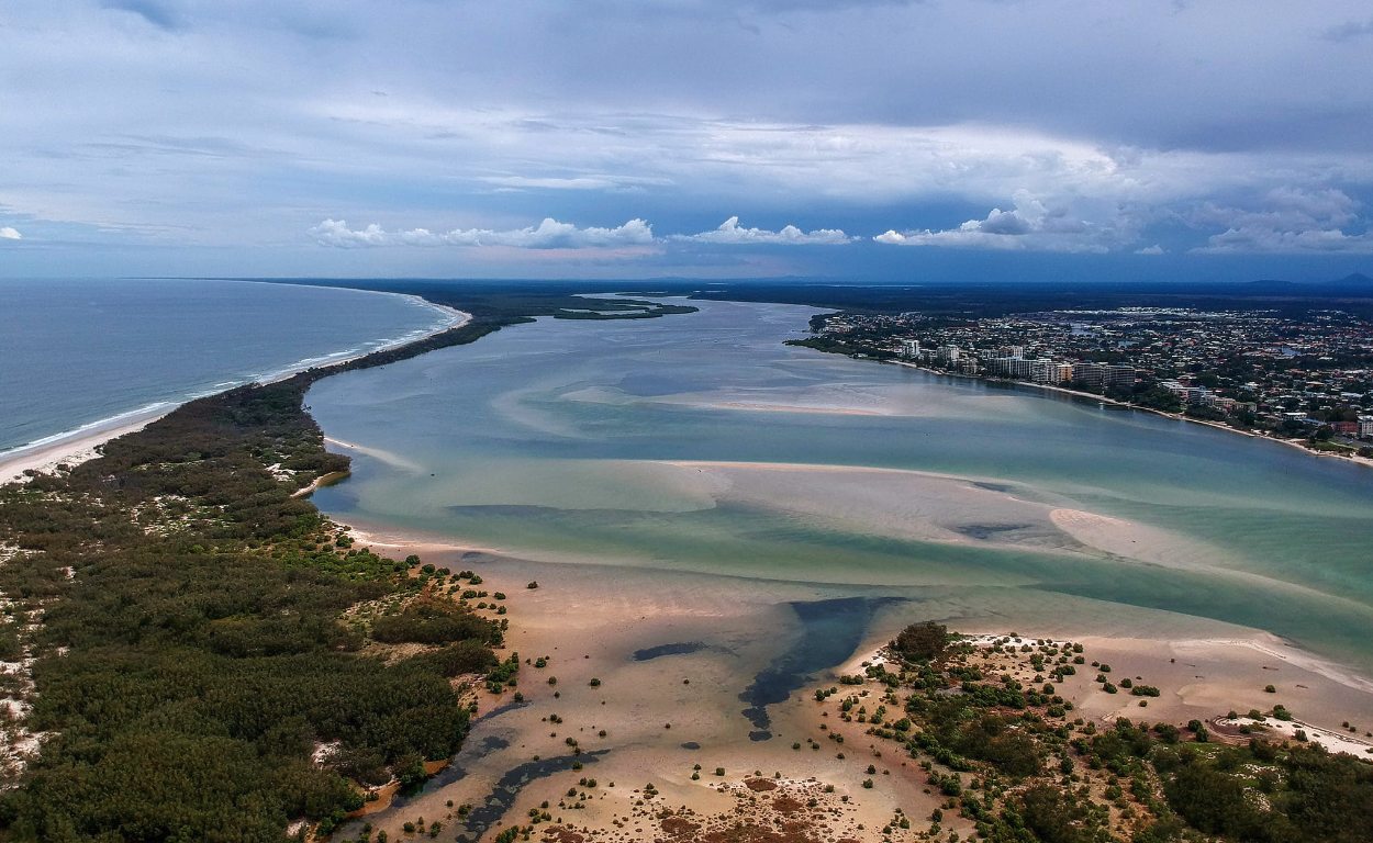
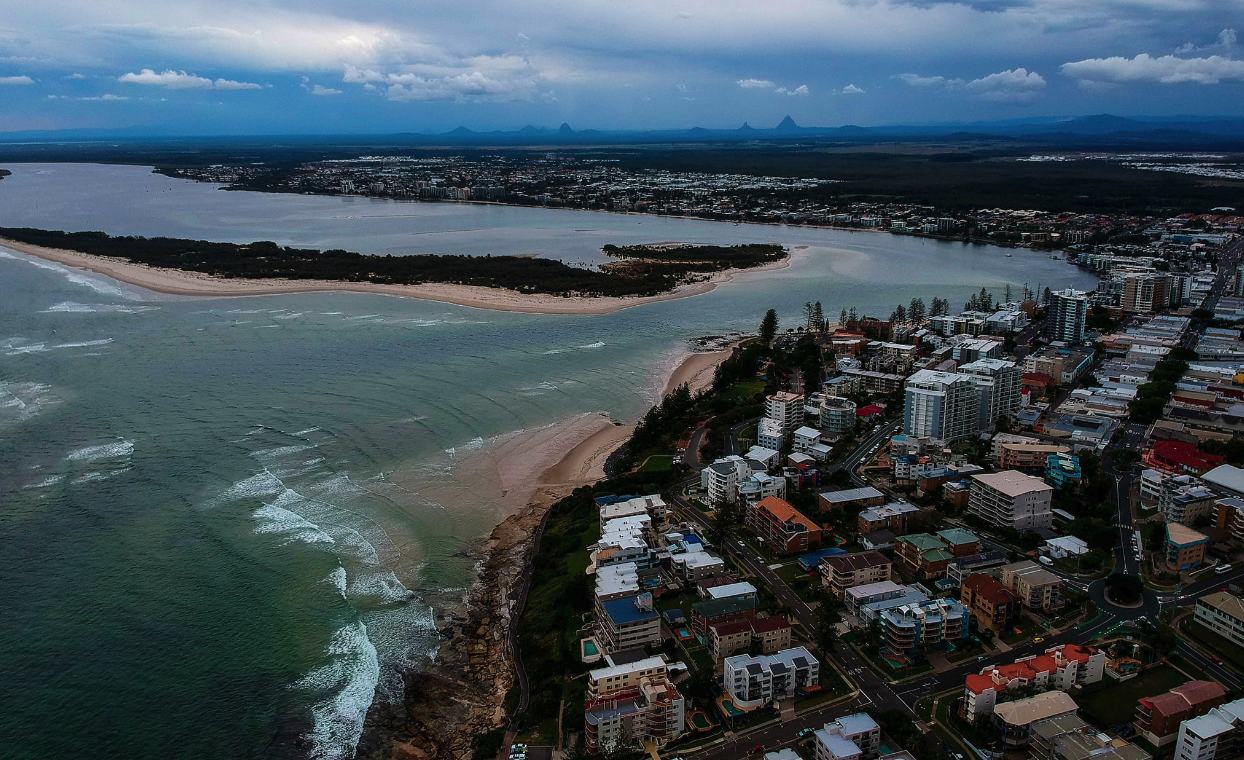
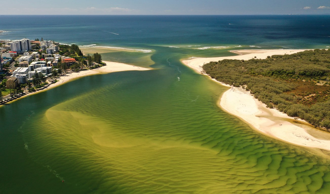
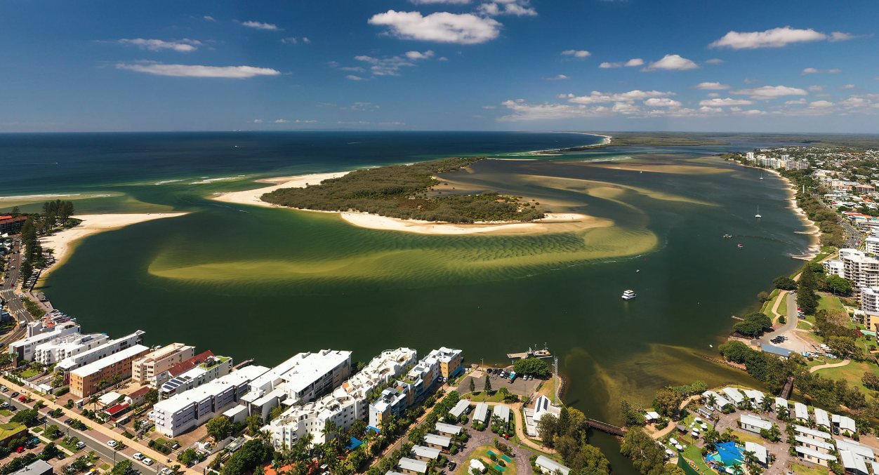
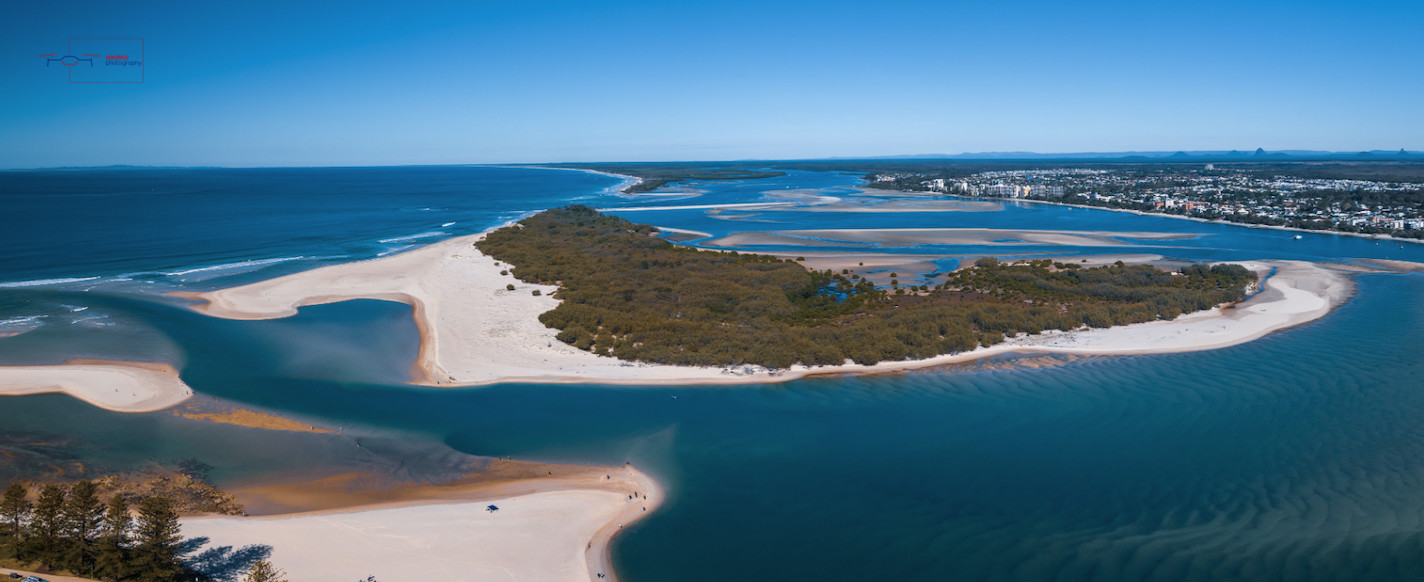
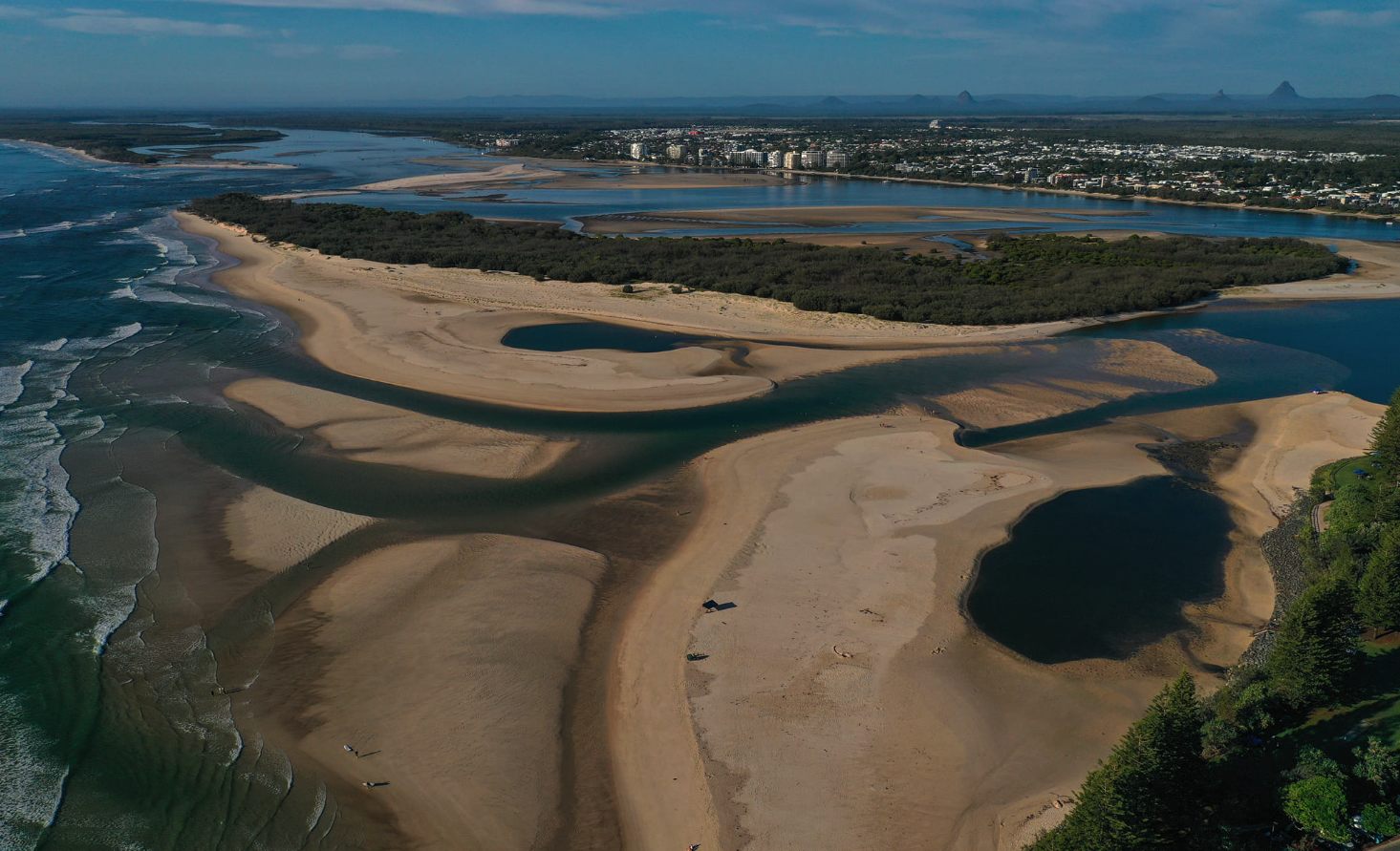
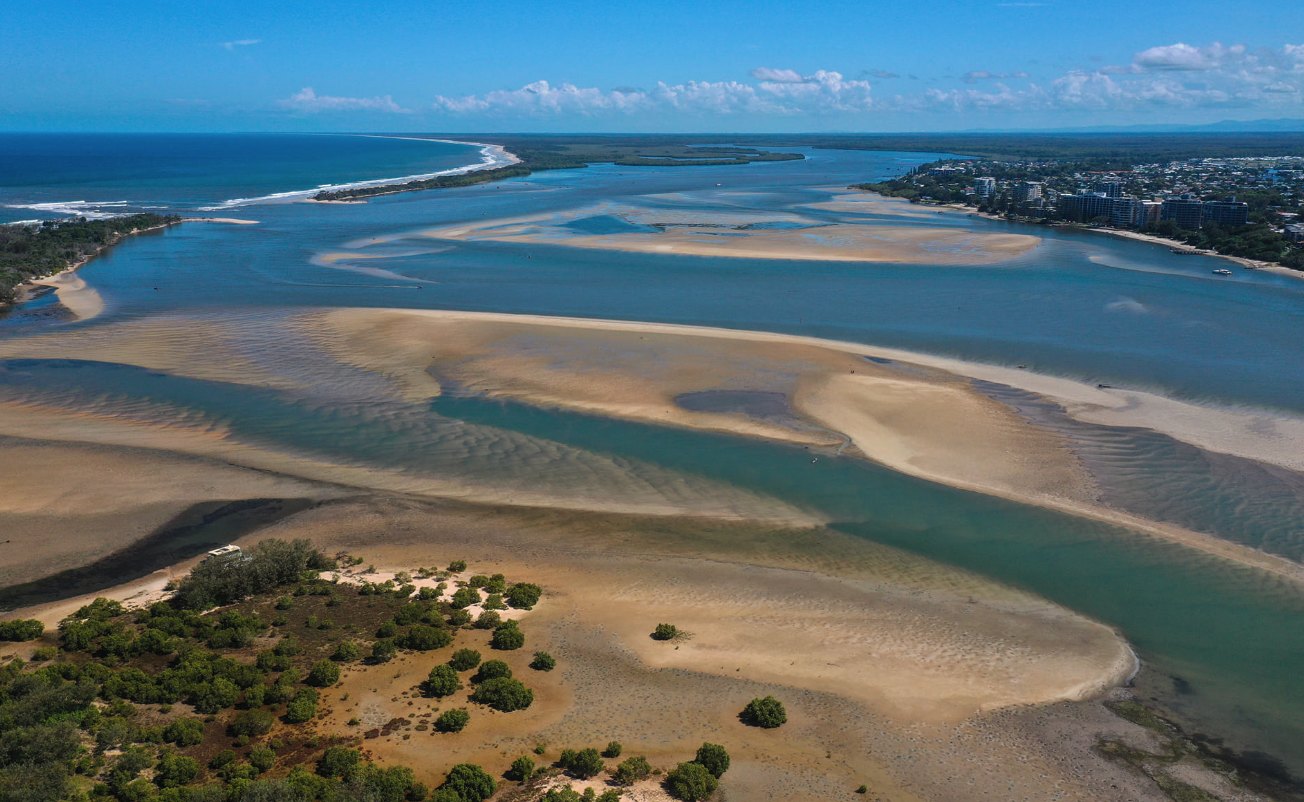
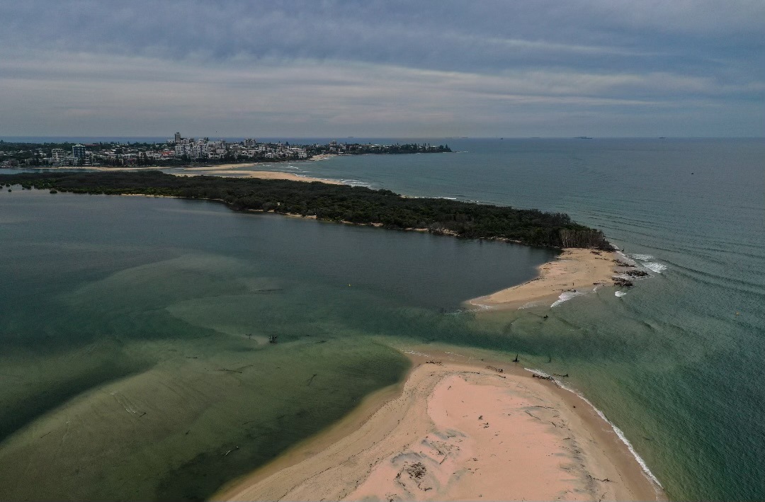
Bribie Island essentially became two within a couple of months, including Bribie Island proper and the new small northern isle.
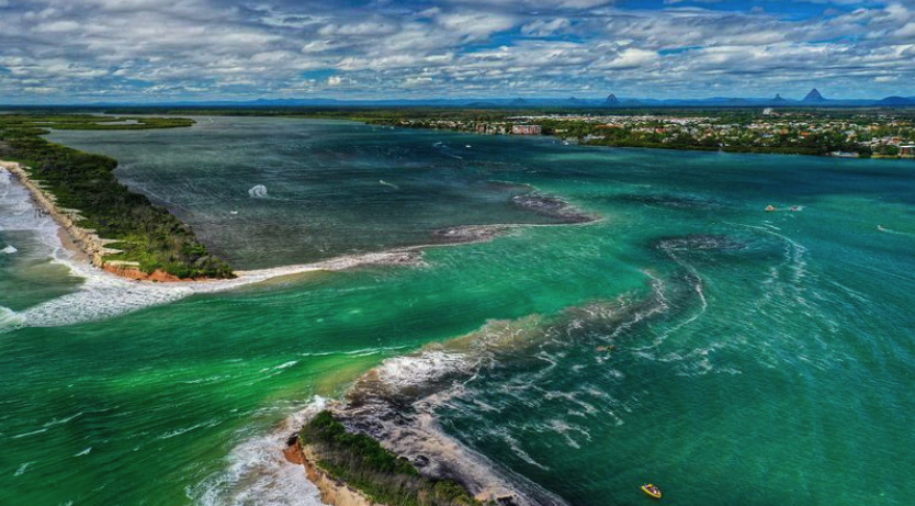
The ocean surged through the split and into the Pumicestone Passage and, over time, changed the tidal movement in and around the area.
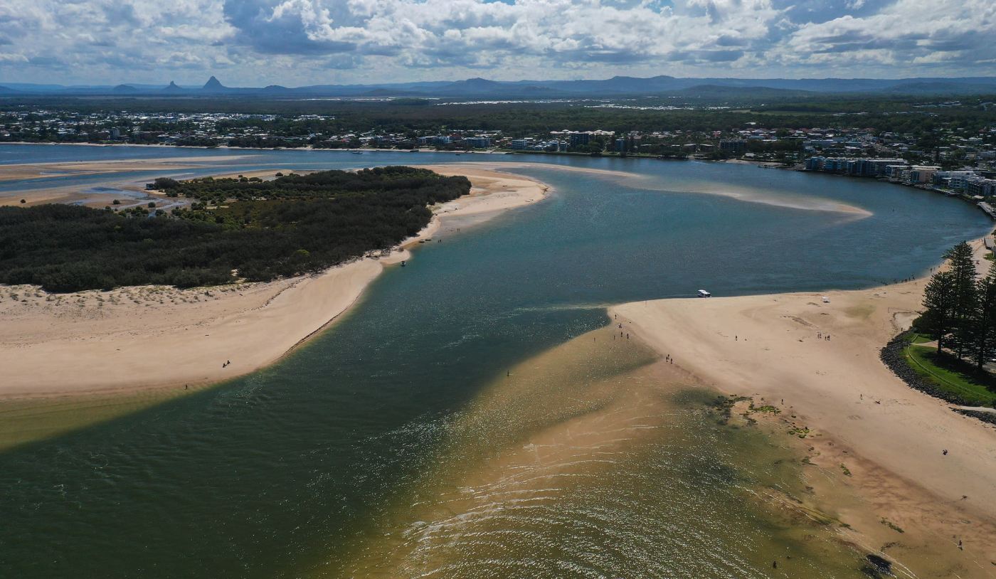
The breakthrough continued to expand and mountains of shifting sand created expansive spits across the passage and from Happy Valley to the north island, which people could essentially walk along, but the sand posed problems for the Caloundra Coast Guard and other boaties at low tide. Their requests for dredging were rejected.
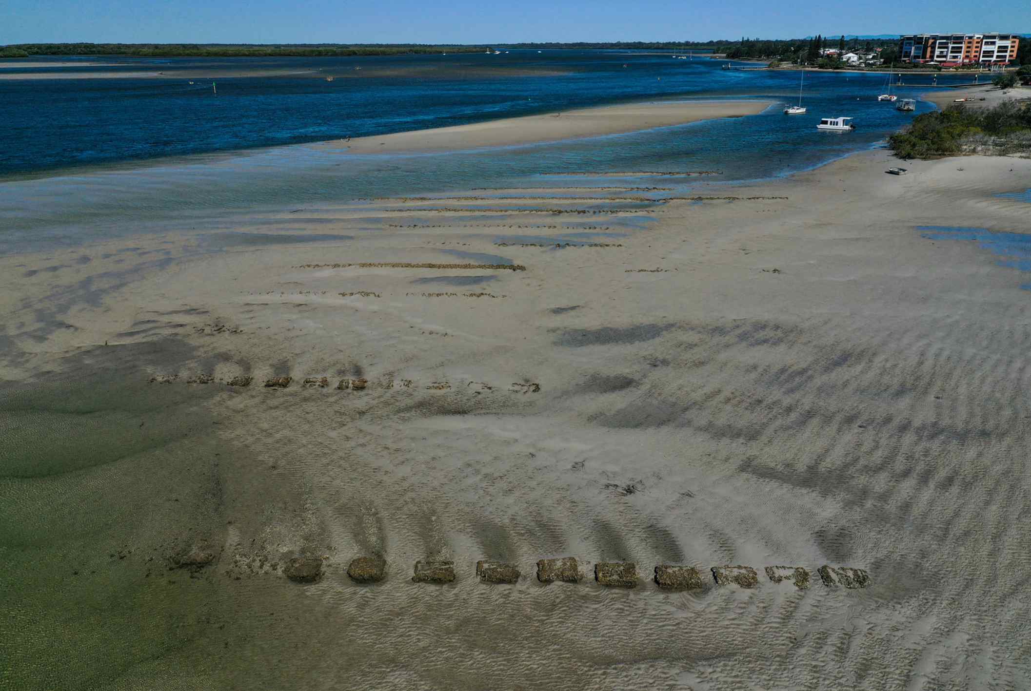
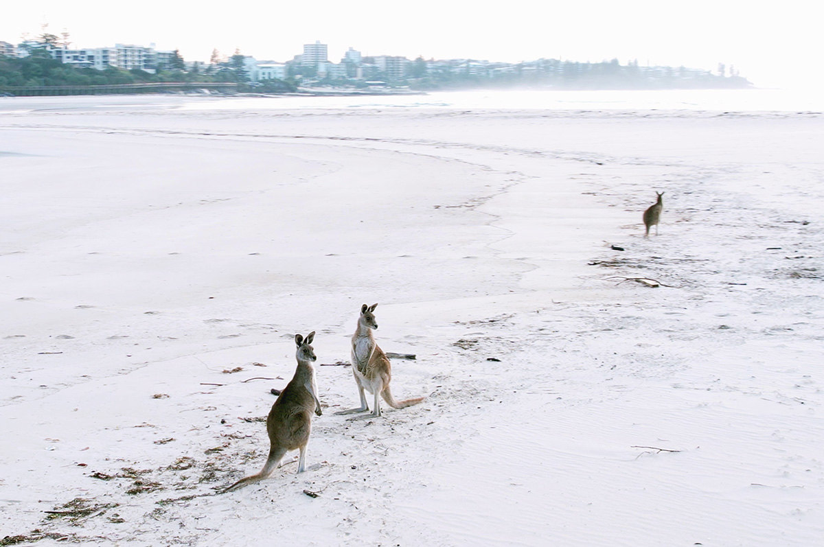
Meanwhile, old World War II monuments were swallowed by the sea and kangaroos were seemingly marooned on the northern island. Waterway businesses were forced to adapt and decades-old oyster banks were uncovered.
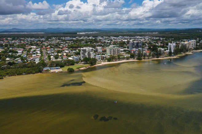
An early investigation showed the breakthrough had changed tide heights but the impacts on the passage and its surrounds – particularly regarding erosion, flora and fauna – are yet to be fully understood, amid ongoing monitoring and research. Meanwhile, the future for water users is also unclear.
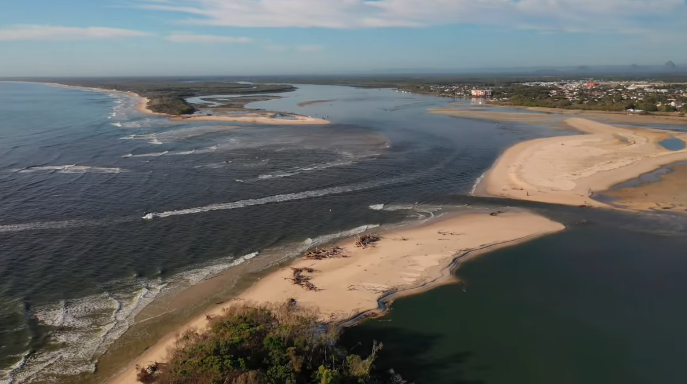
Then, there was another twist at the end last week, when a split occurred in the large sand spit in the passage. It’s unknown what affect it will have on but water appeared to be moving more freely through the passage, which could open up the waterway again, including at the Caloundra bar; it could also close up again or it could shift sand into other areas of the passage.
Maritime Safety Queensland general manager Kell Dillon provided an update on the conditions to SCN last week.
“This area remains unstable and highly dynamic and MSQ is monitoring, using best efforts to ensure safe navigation and access to and from the sea to the main Pumicestone Passage, where channel depths allow, in the face of powerful dynamic forces,” he said
“MSQ and other state and local government agencies continues to monitor ongoing changes to channels near Bribie Island and Pumicestone Passage after storms last January, which caused an ocean breakthrough near the northern end of Bribie Island.”
He said the tides and the sand were still changing.
“The Pumicestone passage channel has reformed through the breakthrough as the main channel to the sea,” he said.
“A new and large sandbar at the northern end of the breakthrough continues to move west within Pumicestone Passage.
“At the same time the Caloundra Bar entrance is gradually closing due to accumulating sand movement north on the eastern side of Bribie Island and lesser water flows in the original channel.”
Mr Dillon said experts were still analysing conditions and he again ruled out dredging.
“MSQ coastal engineers currently consider potential interventions, such as dredging, would be ineffective in the short to medium term, and potentially have an environmental impact on sea-grass beds, nesting shorebirds and other wildlife in the adjoining marine park,” he said.
He said the agency had implemented initiatives to help boaties stay waterway safe.
“MSQ continues to prioritise safe boating, declaring a new coastal bar, issuing regular notices to mariners about the danger, and updating the Beacon to Beacon Guide for Pumicestone Passage,” he said.
“Boaties should take care in this area and check the MSQ Notice to Mariners page for the latest information on waterway depths and shoaling.”
Doug Bazley, of Bluey’s Photography, has provided several stunning photos documenting the area’s change over time, along with Brendan Smith of SkyShots Photography, Zane Jones and Damien Lange. See their great photos below.
Pre-breakthrough
December 2021
January 2022

February
March
July
August
October
January 2023
Local journalists supporting local people. Help keep independent and fair Sunshine Coast news coming by subscribing to our free daily news feed. All it requires is your name and email. See SUBSCRIBE at the top of this article.
