
Sunshine Coast residents shivered through a chilly Sunday morning, but forecasters have warned it was just a taste of what’s to come.
A cold snap is set to strike the region later this week, when temperatures should fall 5 degrees below the June average, but clear skies should ensure nice days.
It’s likely to be just 6 or 7 degrees on the mornings of Thursday, Friday and maybe Saturday.
It also will be officially wetsuit season for surfers due to the wind chill factor and water temperature dropping to 21C.
“A cold front and trough will come across Tuesday and Wednesday,” meteorologist Peter Markworth said.
“Following that, we’ll see a burst of dry, cool air and we’ll see temperatures drop across large parts of the state.”
The region’s lowest recorded June minimum was 1.5C, recorded in 2009.
“It doesn’t look like we’re going to reach that, at this stage, but you never really know,” Mr Markworth said.
Follow Sunshine Coast News on Facebook.
“It’s one of those cold bursts which is definitely going to be down there.”
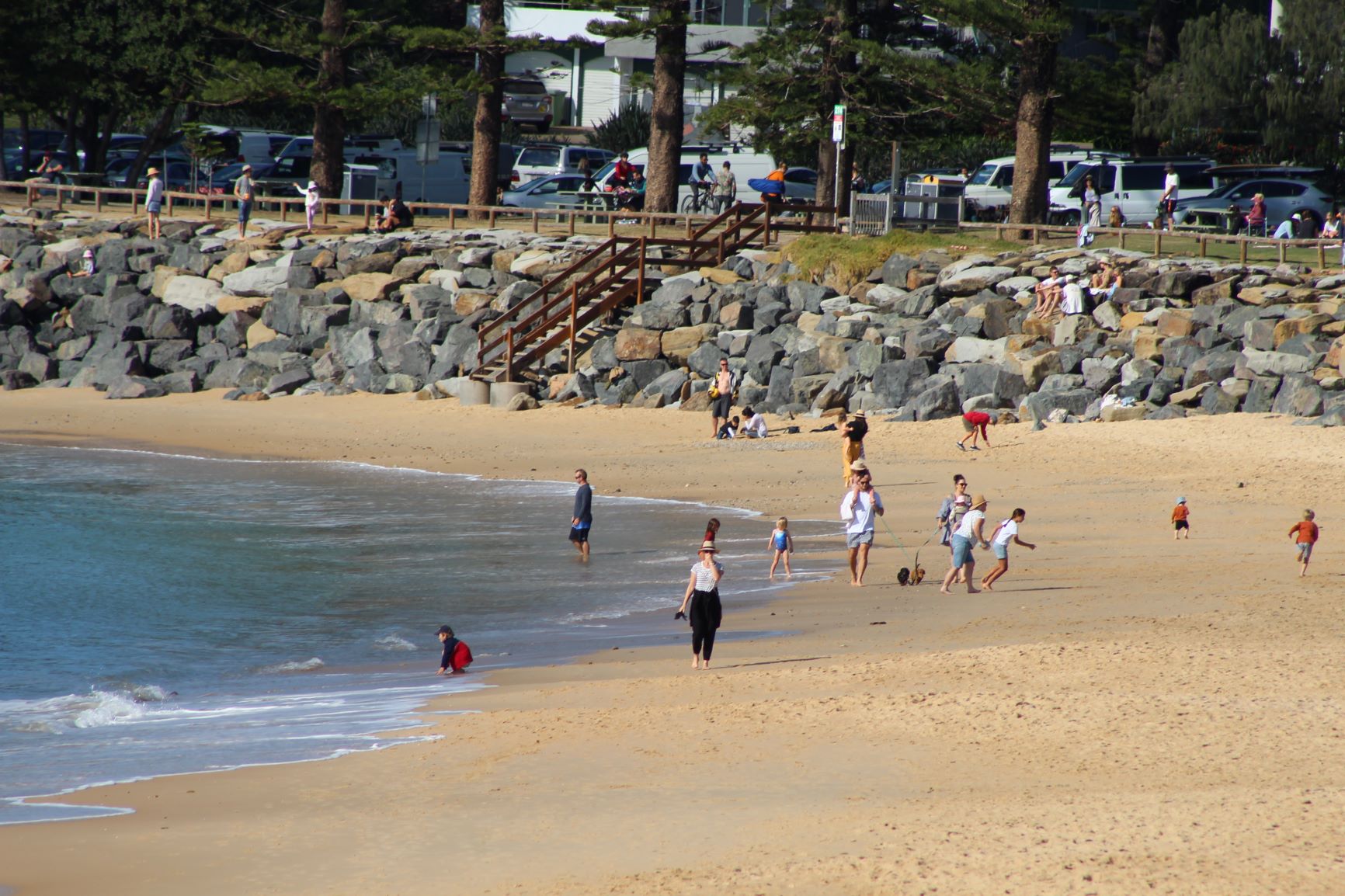
Sunshine Coast residents got a sample of the season on Sunday morning, when it was 6.4C at the airport, and just 2.9C at Gympie.
“It was a bit of a taste of the winter to come,” Mr Markworth said.
But spare a thought for those in the Granite Belt, who are poised to go sub-zero and could receive snow later this week.
Help keep independent and fair Sunshine Coast news coming by subscribing to our free daily news feed. All it requires is your name and email. See SUBSCRIBE at the top of this article.
They’re expected to feel temperatures of -2 degrees on Thursday and Friday.
“There’s a slight possibility for some snow for parts of the Granite Belt, in the more elevated areas,” Mr Markworth said.
“There’s a good chance of some snow in northern New South Wales and we could see a bit of that reach Queensland.”
There could be some showers on Tuesday and Wednesday before the cold front moves through, when clear skies will coincide with the cooler temperatures.
