
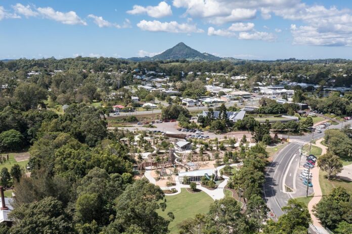
A plan to rezone two properties near a hinterland town has drawn dozens of submissions, with councillors expected to consider the community feedback before the end of the year.
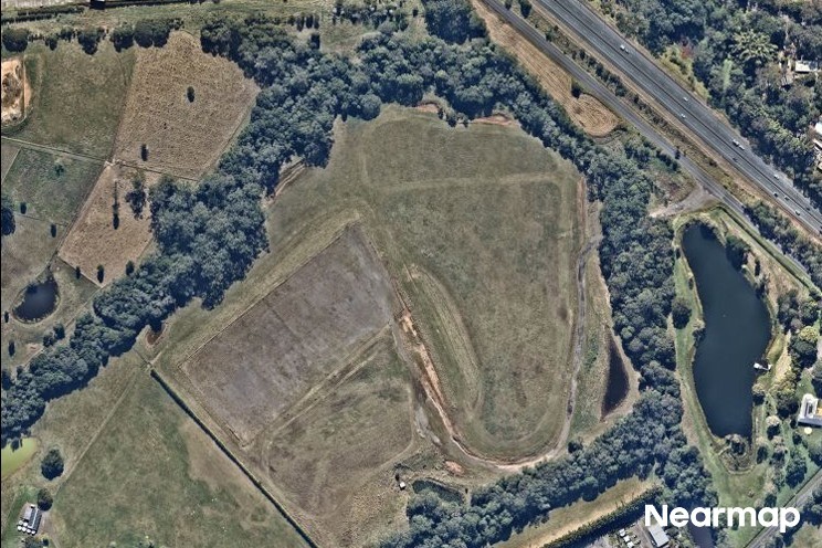
There were 79 submissions on the proposed amendment to change 94 and 170 Holts Road, Cooroy, from rural land to industry land and areas of environmental management and conservation.
The eight-week public consultation period on the amendment – which was designed to help Noosa’s future employment needs while balancing environmental protection and community interests – closed on September 20.
Mayor Frank Wilkie thanked community members for their submissions on the proposed Noosa Plan 2020 changes.
“The public notification period was an important step and all feedback received will be reviewed by council staff,” he said.
“All submissions will be considered as part of the review.”
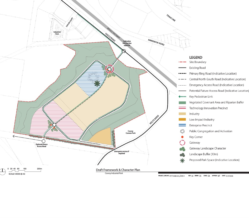
The consultation feedback and any proposed changes were expected to be presented to councillors, before returning to a council meeting for a decision. This could occur before the end of the year.
Cr Wilkie said if council decides to proceed with the amendment, that decision and the consultation report will be referred to the state government for final consideration and decision, likely in early 2027.
“The proposal seeks to support local jobs and business growth while ensuring environmentally significant and constrained areas remain appropriately protected,” he said.
“We acknowledge there is strong community opinions on the proposal.”
The amendment responds to recommendations identified in the Noosa Economic Development Strategy 2021, the Noosa Employment Lands Review and the South East Queensland Regional Plan 2023.
Want more free local news? Follow Sunshine Coast News on Facebook, LinkedIn and Instagram, and sign up for our FREE daily news email.
The aerial imagery in this story is from Australian location intelligence company Nearmap. The company provides government organisations, architectural, construction and engineering firms, and other companies, with easy, instant access to high-resolution aerial imagery, city-scale 3D content, artificial intelligence data sets, and geospatial tools to assist with urban planning, monitoring and development projects in Australia, New Zealand and North America.