
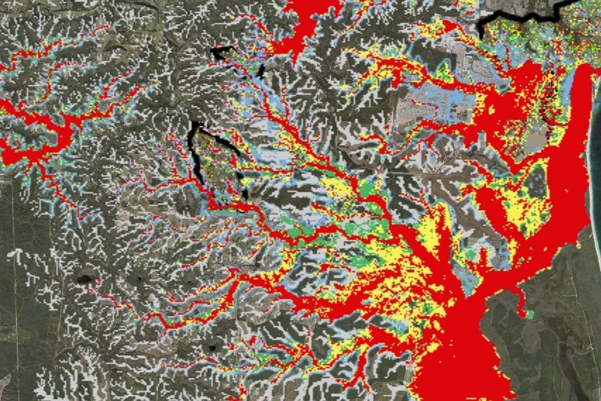
Sunshine Coast Council has rolled out revised flood maps to help residents better understand their risk ahead of storm season.
The maps include updates for developments in Aura and Bli Bli, as well as improvements relating to flood mitigation works in Battery Hill.
Other changes include a map showing creek flooding due to heavy rainfall from ex-Tropical Cyclone Alfred in March.
Councillor Maria Suarez said the endorsed updates were minor revisions of the council’s public flood mapping products.
“The updates are important for people who live in Aura, Bli Bli and Battery Hill as they reflect improvements,” she said.
Want more free local news? Follow Sunshine Coast News on Facebook, LinkedIn and Instagram, and sign up for our FREE daily news email.
“Revising our mapping to show the improvements is part of Council’s ongoing efforts to work with the insurance industry to promote affordable insurance outcomes for our community.
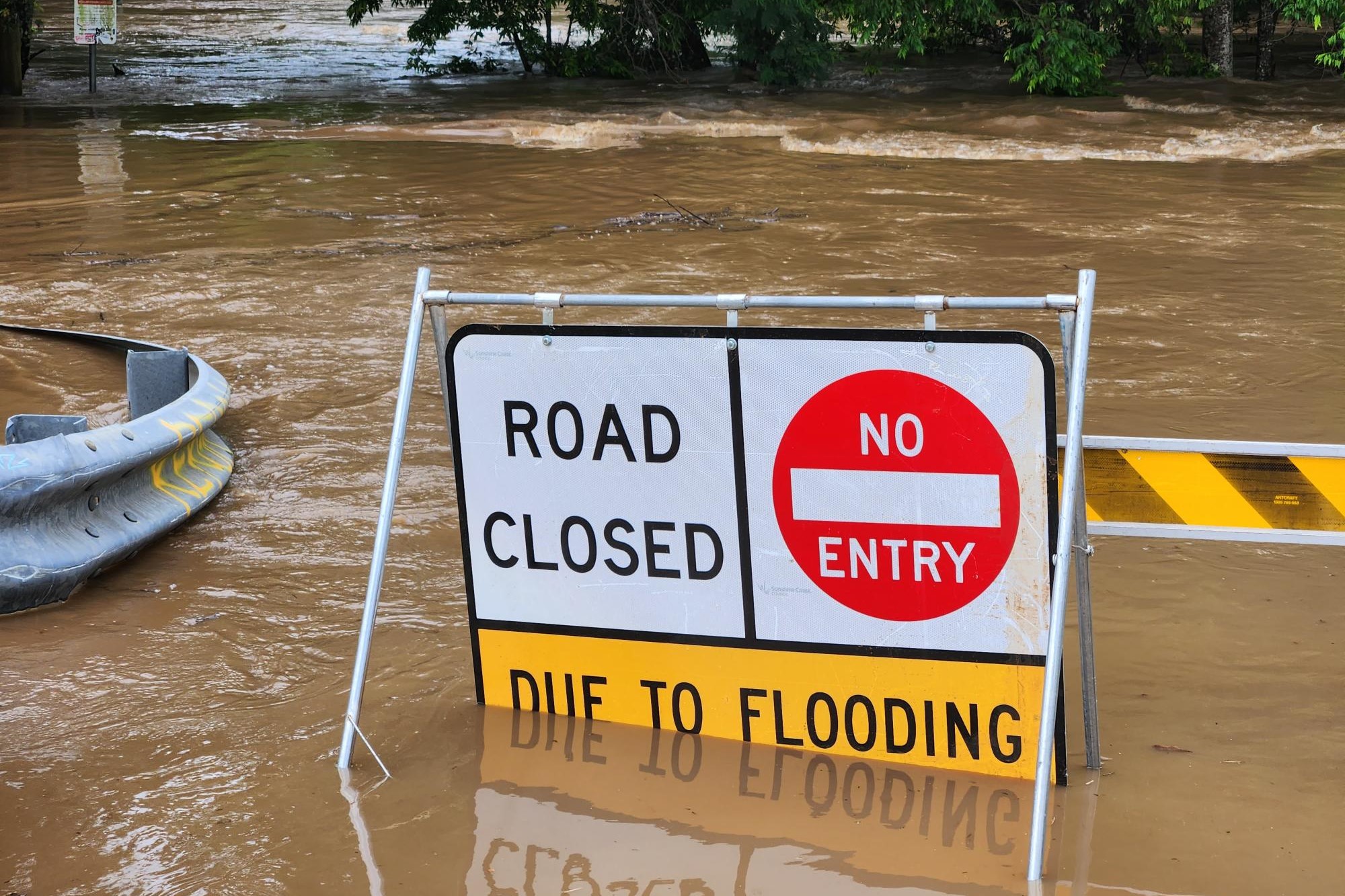
“With storm season upon us, it is also time to re-familiarise yourself with Council’s emergency preparedness flood mapping resources.
“This is especially important for new residents who may have moved to the Sunshine Coast, as they might not know that the risk of flooding is part of life on the Sunshine Coast.
“As someone whose home has been impacted by flooding in the past, I understand the terrible toll it can take and understand the importance of knowing your property’s risk.
“Having access to up-to-date flood mapping arms you with the information you need to be prepared and to reduce the impact of flooding on your property.”
Changes to public flood mapping products included: minor revision to Council’s public flood mapping; accounts for continued development at Aura and Bli Bli; improvements relating to flood mitigation works in Battery Hill; mapping showing creek flooding due to heavy rainfall from ex-Tropical Cyclone Alfred in March 2025; administrative adjustments to reflect the approved development scheme layout for the Maroochydore City Centre; and administrative adjustments for the Coolum Industrial Estate.
To find out more, see Flood Mapping.
