
Plans to turn a vacant gravel lot into a temporary sealed car park with 77 spaces have been submitted for assessment.
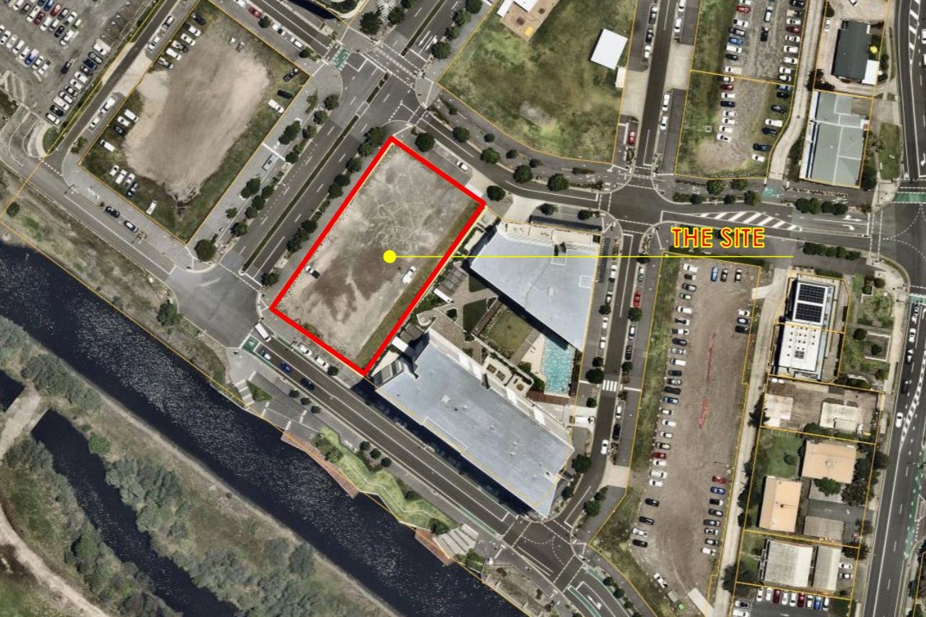
The 2376sqm site on Sunshine Coast Parade would be turned into an interim car park to “to support the development growth of the Maroochydore city centre”, a planning report lodged by Walker Corporation states.
It would have an estimated cost of $179,859 and a currency period of five years, after which it would be replaced by a mixed-use development.
The application was submitted to Economic Development Queensland because the site is part of the Maroochydore City Centre Priority Assessment Area.
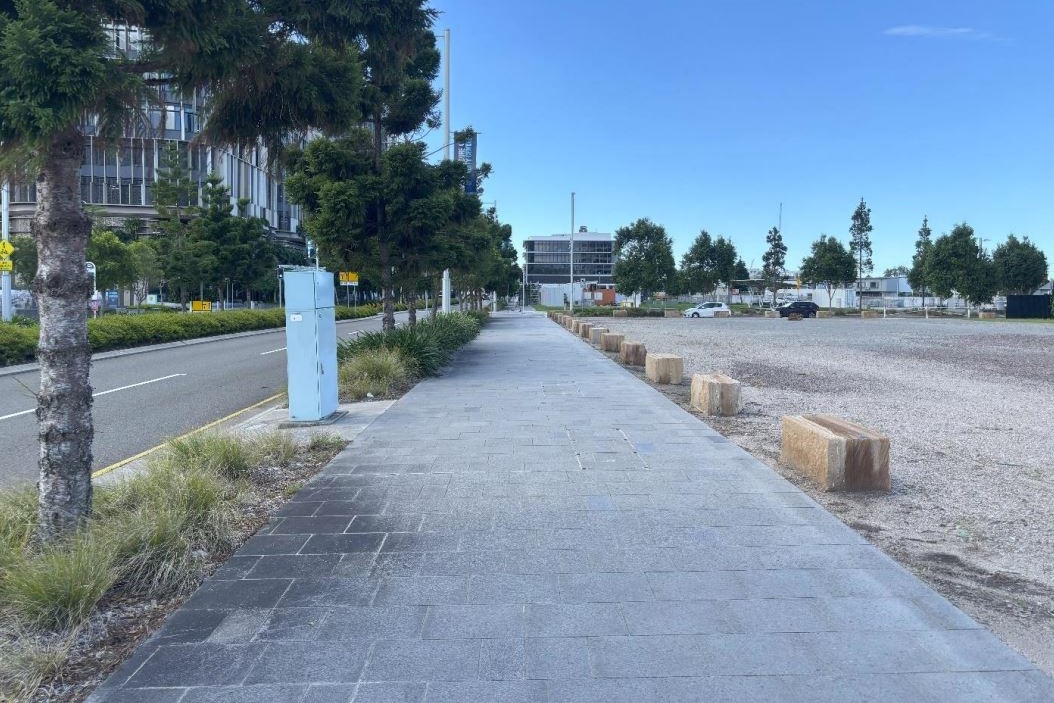
The site is owned by Walker 51 First Avenue Pty Ltd and is bounded by First Avenue, Future Way, Sunshine Coast Parade and the 15-storey The Corso apartments, which are directly to the east. The lot was most recently used as a construction compound for The Corso.
“The proposed temporary car park will support businesses establishing in Walker’s new 50 First Avenue commercial office tower, while supporting the long-term vision for the Maroochydore city centre, to lead the way as a transit-oriented city that is underpinned by robust active and public transport infrastructure,” a Walker spokesperson said.
“As the government’s planned public transport infrastructure, The Wave, is delivered over the coming years, including new rail, metro and rapid bus connections, the temporary car park will be replaced by a mixed-use development in line with the precinct’s long-term vision.”
The plans for the parking facility comprise 77 sealed car parking spaces, entry and exit boom gates, an access control system and perimeter landscaping.
The report says similar commuter car parks are located nearby, including a temporary car park at 54-58 Maud Street, the car park for the Sunshine Coast City Hall at 54 First Avenue and the car park to 8 Market Lane.
Scroll down to SUBSCRIBE for our FREE news feed, direct to your inbox daily.
“The purpose of the development is to provide additional car parking to support the development growth of the Maroochydore city centre, enabling more workers to commute to work via private vehicle while the MCC continues to evolve and provides an additional transport option until the MCC can shift away from car travel and instead active and public transport options increase,” the report states.
It says the entry boom gate will be set back six metres from the boundary, allowing one vehicle to queue.
“The inflow peak will likely occur in the morning spread over a few hours, and the likelihood of extended queuing and resulting impacts on traffic flow along Future Way is expected to be minimal,” the report says.
The existing gravel base on the site is proposed to be reused with a sealed surface to reduce the need for new materials.
The report says the application does not warrant public notification because the development comprises preferred land uses for the site and will affect nearby properties.
“The assessment demonstrates no long-term impact on adjoining land use’s amenity or development potential, given its interim use,” it states.
The plans were submitted on April 15 following a pre-lodgement meeting on February 5.
The aerial imagery in this story is from Australian location intelligence company Nearmap. The company provides government organisations, architectural, construction and engineering firms, and other companies, with easy, instant access to high-resolution aerial imagery, city-scale 3D content, artificial intelligence data sets, and geospatial tools to assist with urban planning, monitoring and development projects in Australia, New Zealand and North America.
