

A wet week lies ahead for the not-so-Sunshine State, with experts warning a tropical low may form off Queensland.
But there is a low chance it will develop into the season’s first tropical cyclone, the Bureau of Meteorology says.
The state’s southeast copped the brunt of heavy showers from Monday night, with more to come.
More than 127mm of rain fell in Brisbane alone, causing flooding.
No relief is in sight yet, with showers and storms set to hit Queensland’s east coast today.
“Most likely from Townsville down to Brisbane where severe thunderstorms are possible,” the bureau’s Angus Hines said.
Help keep independent and fair Sunshine Coast news coming by subscribing to our FREE daily news feed. All it requires is your email at the bottom of this article.
The bureau is also keeping an eye further north with a tropical low a chance of forming around the Gulf of Carpentaria, bringing yet more rain.
Models have it tracking across the coast near Coen and moving away between Cairns and Townsville into the Coral Sea by the weekend.
“It’s a low chance of developing into a tropical cyclone from Friday,” a bureau spokesman told AAP.
“But most models don’t see it developing. They keep it as a weak low-pressure system even as it moves off the coast.”
The predicted low is set to move away from the north Queensland coast, taking the rain with it.
“So we should see a lot less rainfall by Tuesday next week. It’s a brief boost of monsoon-like conditions,” the spokesman said.
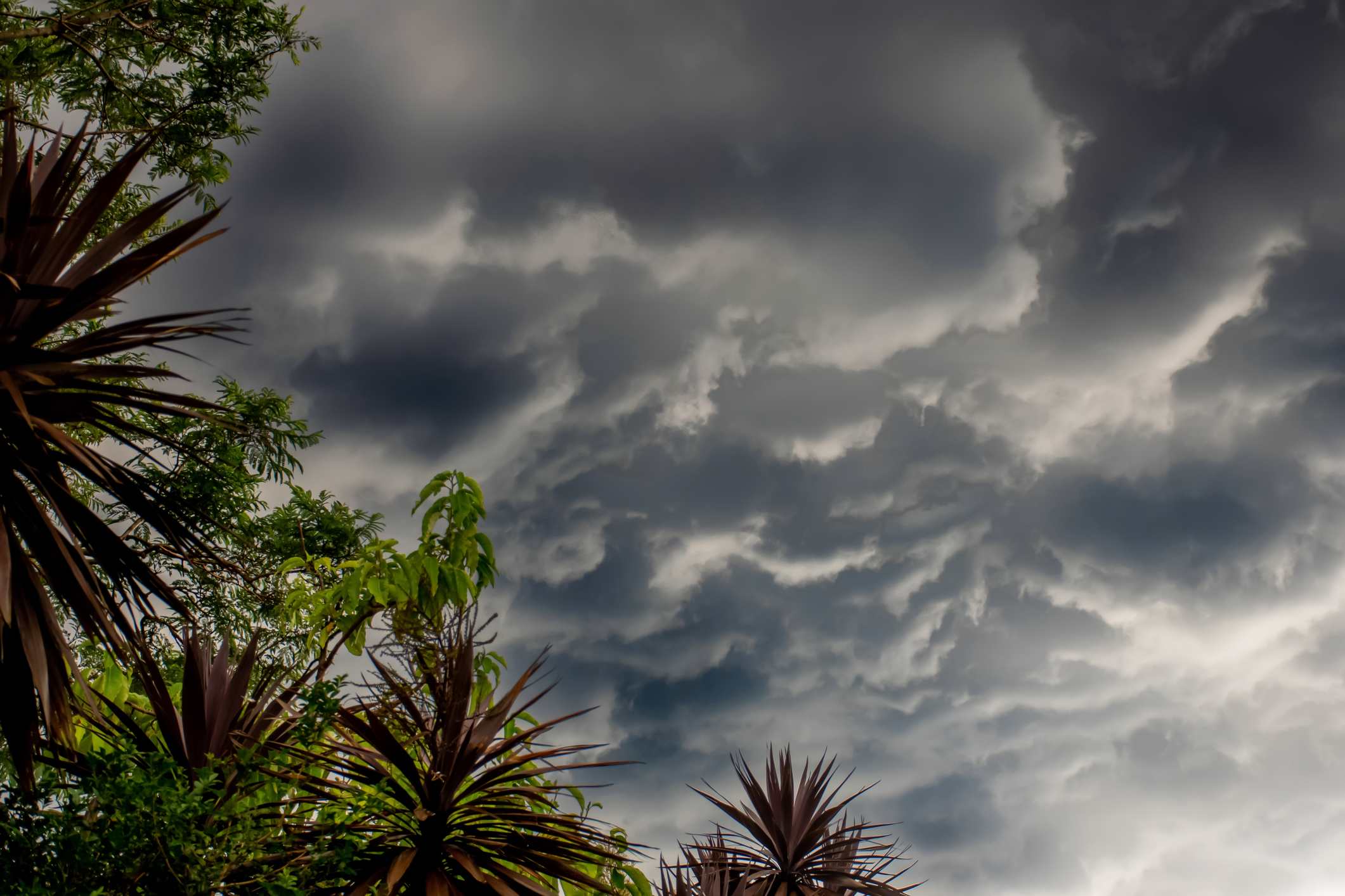
Queensland has already copped a drenching with showers continuing on Tuesday.
Ipswich, Somerset, Lockyer Valley, Brisbane City and Moreton Bay were hit with a sweeping storm about 2am on Tuesday, bringing heavy rain and causing flooding.
Roads were cut off, with the State Emergency Service receiving almost 80 calls for help from midday on Monday.
Almost 20 dams across the southeast were spilling on Tuesday, with the region’s biggest, Wivenhoe, beginning releases for what was believed to be the first time in two years.
Flood warnings remain for more than a dozen rivers and creeks in southeast, west and central Queensland.
The bureau said the wet weather leading up to the festive season was due to a low pressure system off the north Queensland coast near Mackay and a coastal trough bringing moist and unstable conditions.
Hot temperatures are set to continue in the state’s west with heatwaves forecast.
Mount Isa was set to reach 44C on Tuesday with a high of 43C today.