
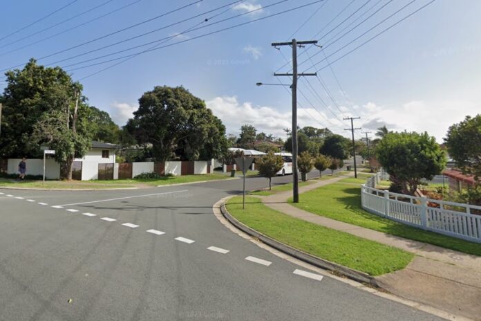
More than 100 residents have urged the local council to install safety measures along a road that runs through the middle of a neighbourhood.
A 13-page petition, requesting improvements to Tulip Lane in Buderim, has been submitted to local authorities.
Councillor Ted Hungerford presented the paperwork at an ordinary meeting in October.
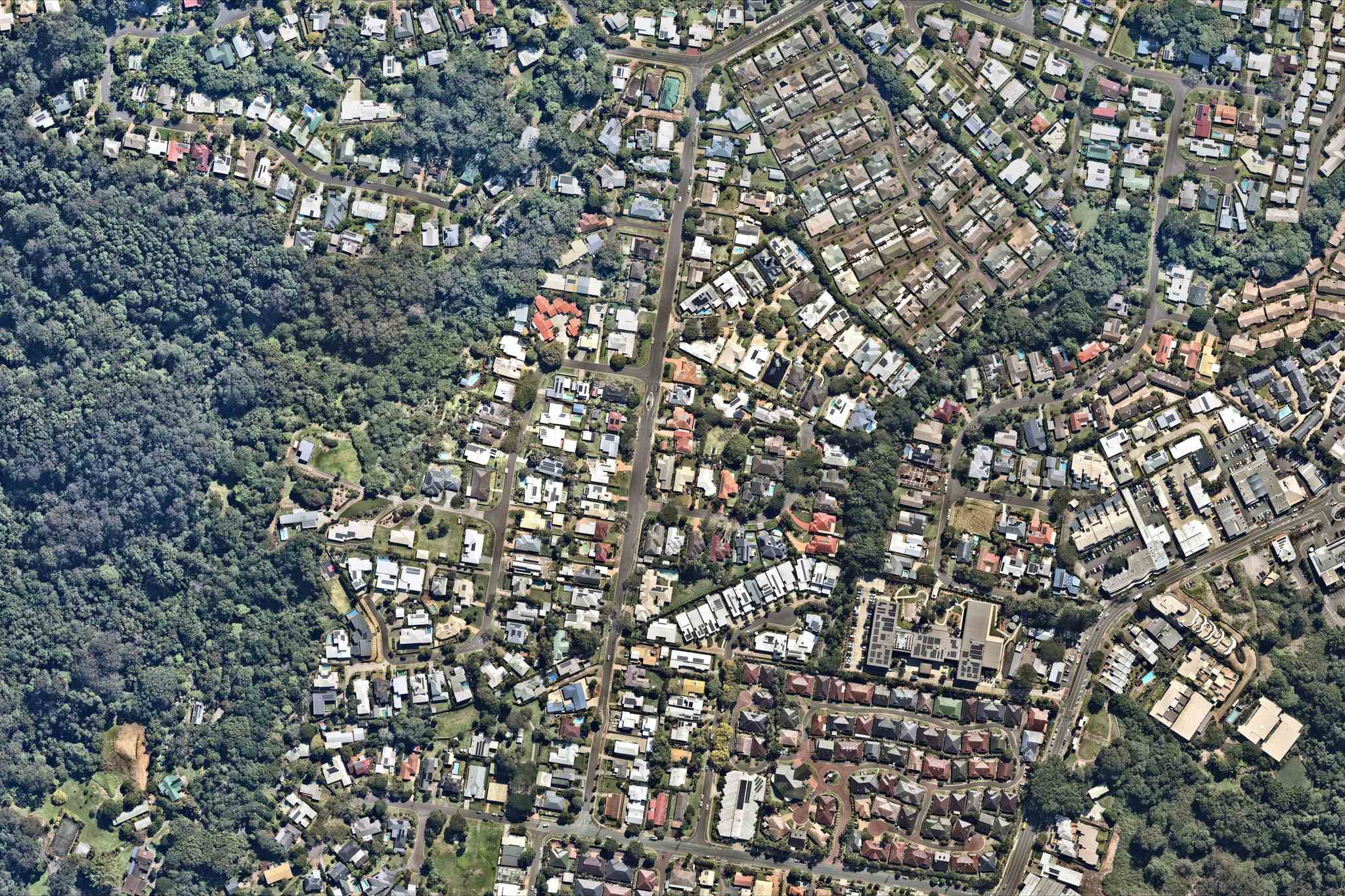
The signatories asked the council to “act on the excessive volume of traffic at Tulip Lane”, a straight 680m stretch that connects Lindsay Road and Townsend Road and features three offshoots.
They called on the council to implement “numerous traffic calmers, including raised crossings at each end and possibly in the middle section of Tulip Lane … to reduce and slow traffic.”
Want more free local news? Follow Sunshine Coast News on Facebook, LinkedIn and Instagram, and sign up for our FREE daily news email.
“We strongly suggest reducing the speed from 50km/h down to 40 or 30km/h.
“This is because of serious safety concerns in Tulip Lane and the surrounding streets, as it’s been pointed out in numerous emails to council this year.”
Cr Hungerford said many roads in the area were getting busier but extra calming devices may not be the solution along the road.
“A lot of streets are getting the same problems as our population grows,” he said.
“Increasing traffic volumes on our streets is something everyone is dealing with. To turn it (Tulip Lane) into an obstacle course wouldn’t really be an answer,” he said.
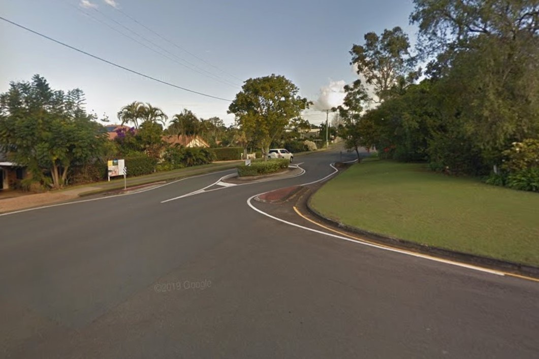
Cr Hungerford said there were two “substantial” traffic islands already along the road and one of them could be altered to slow traffic and aid pedestrians.
“I believe one of these can be modified into a safety refuge, near the two bus stops,” he said.
“It could do a dual purpose, rather than having to build a whole new one.
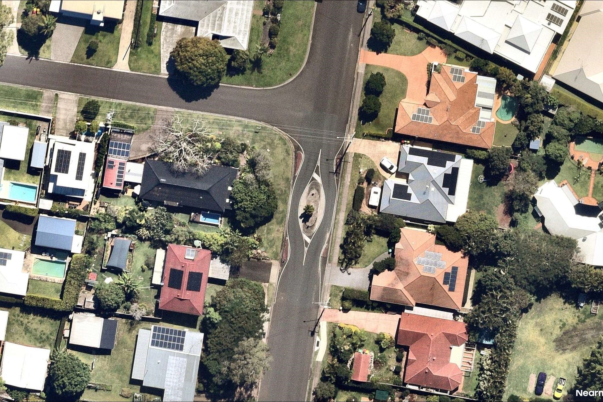
“I’d like to pursue that idea as a possible improvement in Tulip Lane.”
A council spokesperson said the petition was referred to the council CEO for consideration and “appropriate action”.
Sunshine Coast News asked the council how many vehicles use Tulip Lane and how many accidents have occurred there but did not receive answers.
The aerial imagery in this story is from Australian location intelligence company Nearmap. The company provides government organisations, architectural, construction and engineering firms, and other companies, with easy, instant access to high-resolution aerial imagery, city-scale 3D content, artificial intelligence data sets, and geospatial tools to assist with urban planning, monitoring and development projects in Australia, New Zealand and North America.