
The ecological health of a creek that runs between busy beachside suburbs is being monitored, to help inform a proposed new catchment management strategy.
Unitywater and Noosa Council are undertaking the monitoring program to better understand how groundwater influences Burgess Creek.
The creek drains from the back of residential developments in Noosa Heads, through bushland and community facilities around Eenie Creek Road, and then through a council-managed bushland reserve and national park, before emptying into the ocean between Sunrise Beach and Castaways Beach.
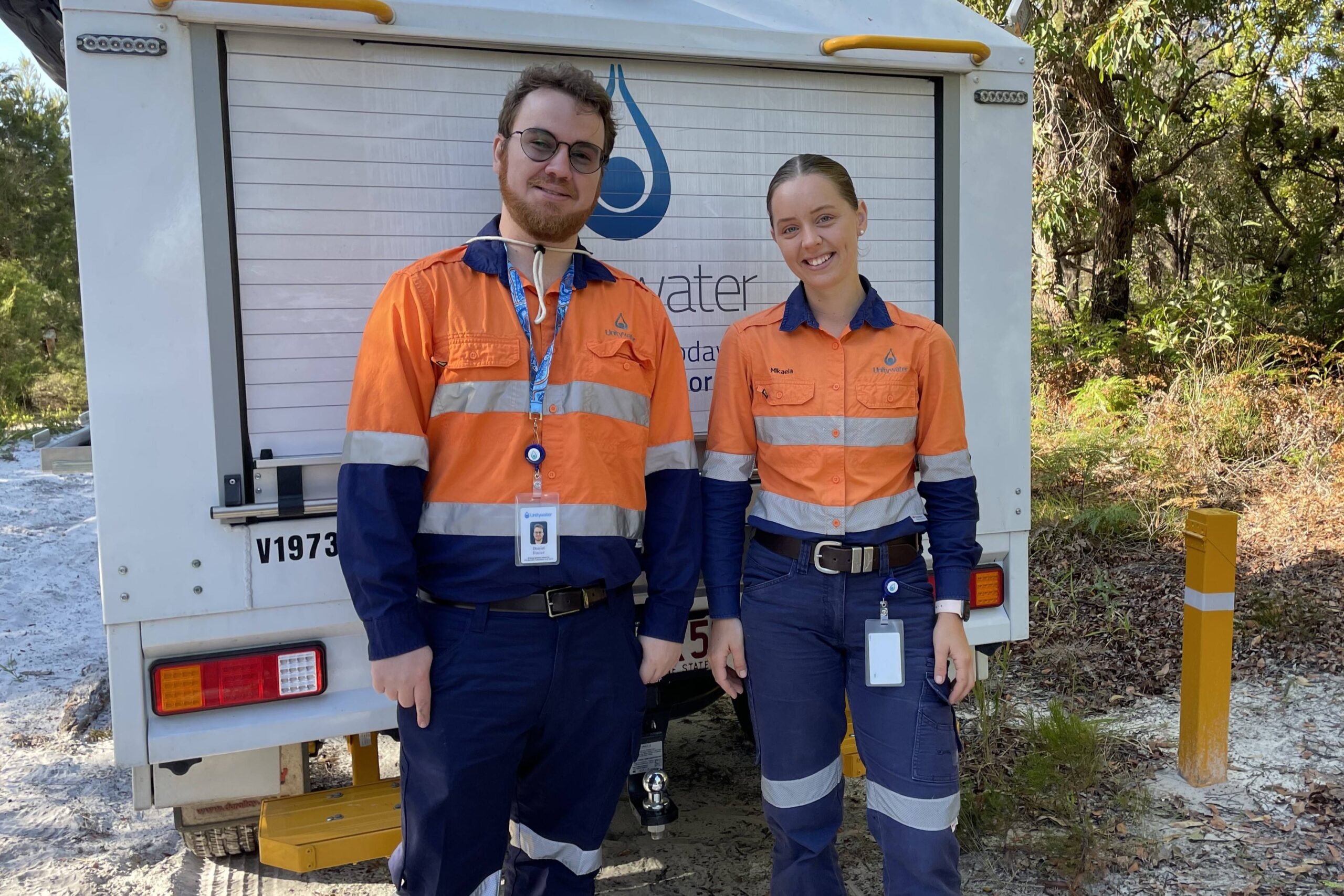
Unitywater has installed four new groundwater monitoring bores, and performed maintenance on one historical bore along the catchment, to undertake the sampling.
The council determined each site based on existing bore locations, safe access for samplers and key areas of interest, such as run-off from sporting fields, residential and industrial areas, to provide a better picture of the movement and quality of groundwater in the catchment.
Do you have an opinion to share? Submit a Letter to the Editor at Sunshine Coast News via news@sunshinecoastnews.com.au. You must include your name and suburb.
Unitywater executive manager sustainable infrastructure solutions Mike Basterfield said the sampling tested for nutrient loads from the Burgess Creek catchment to monitor the impact on the ecological health of the creek.
“The Burgess Creek catchment covers approximately 545 hectares and water from the surrounding landscape all drains into the creek, which affects the water quality in the creek,” he said.
“Some of the things that contribute to the health of the creek include stormwater, which can wash sediments, rubbish and pollutants into the creek; potential leachate (contaminated liquid) from old landfill sites; and droppings from native and domestic animals.
“The Noosa Wastewater Treatment Plant returns the community’s treated wastewater to the urban water cycle through Burgess Creek, and these flows help flush the creek, improving downstream water quality and keeping it flowing.”
Noosa Council environmental services manager Ben Derrick said it was a significant project that would provide valuable information for the proposed Burgess Creek Integrated Catchment Management Plan.
“This plan will be developed over the coming 12 months. The bores will provide us with a better understanding of groundwater flows, physio-chemical parameters and water quality so we can manage any impacts within the catchment,” he said.
Mr Basterfield said testing would occur monthly.
“Groundwater monitoring results will give us more data to understand how the catchment is working holistically and how each of the different water inflows contributes to waterway health,” he said.
“Our initial two rounds of sampling have demonstrated how the groundwater can change, particularly with the depth of the groundwater. Bores are between one metre and 10 metres deep, and groundwater penetration from rainfall in the catchment affects the levels in the bore.
“The greater the flow of groundwater, the more potential the groundwater has to impact water quality in the creek.”
The aerial imagery in this story is from Australian location intelligence company Nearmap. The company provides government organisations, architectural, construction and engineering firms, and other companies, with easy, instant access to high-resolution aerial imagery, city-scale 3D content, artificial intelligence data sets, and geospatial tools to assist with urban planning, monitoring and development projects in Australia, New Zealand and North America.
