
A different winter is set to descend on the Sunshine Coast during the next few months.
Warmer and drier conditions than normal are expected in the region, after the Bureau of Meteorology released its long-term forecast on the first day of the season.
There could be a few showers about this week but that could be the outlier.
BOM senior climatologist Hugh McDowell said there was an 80 per cent chance of higher minimum and maximum temperatures than usual, and a 65 to 70 per cent chance of less rainfall than usual.
The warmer and drier conditions weren’t likely to be localised either.
“It’s nationwide,” Mr McDowell told Sunshine Coast News.
“There are very strong signals across all of Australia, apart from the tropical coast, that it will be warmer than average and drier than average.”
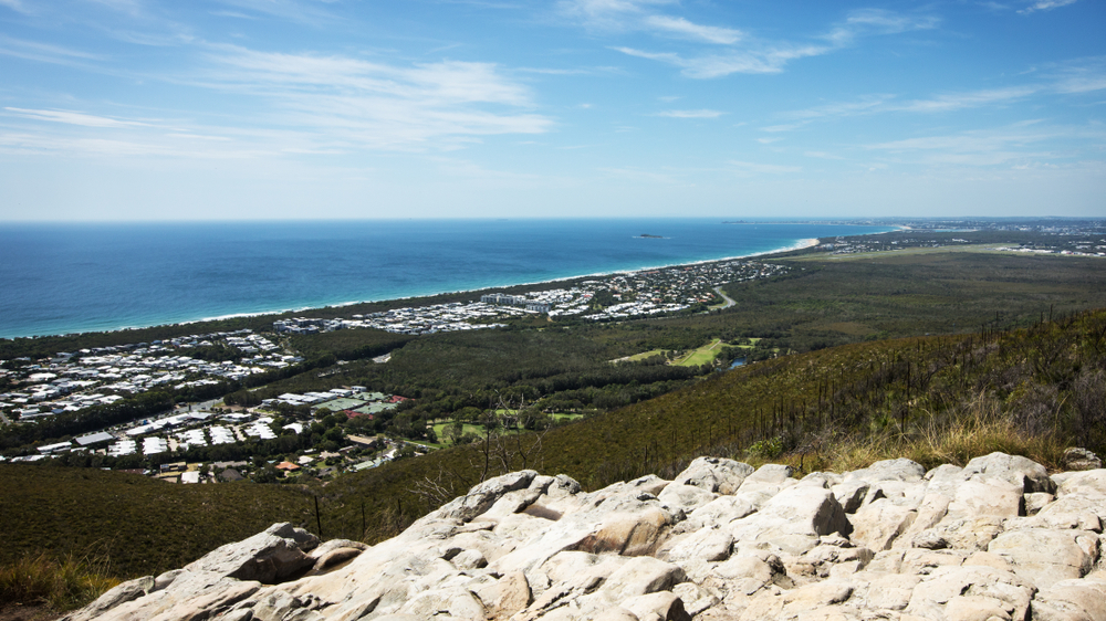
The region is already coming off the back of a relatively dry summer and autumn, when rainfall figures were about half of what they would normally be.
“It’s very much dried out,” Mr McDowell said.
“It’s a massive contrast to the previous few years, when we saw La Nina and constant showers and troughs and significant flooding across parts of the Sunshine Coast.”
Mr McDowell said BOM was now watching for El Nino, which is traditionally associated with drier conditions.
“There’s a greater than 50 per cent chance of seeing El Nino,” he said.
“The climate models are signalling that the sea surface temperatures in the tropical Pacific will get there, but we’re waiting for the atmosphere to respond and there are some signs it is starting to … it’s a strong driver into the long-range forecast.”
Mr McDowell said climate change could be a factor and people should get used to slightly warmer and drier conditions year on year. But he also said climate change could cause more intense bursts of weather.
“(There should be) warmer and drier seasons as the years go by, on average, but when we do get rainfall expect to see more of it one go,” he said.
Scroll down to SUBSCRIBE for our FREE news feed, direct to your inbox daily.
