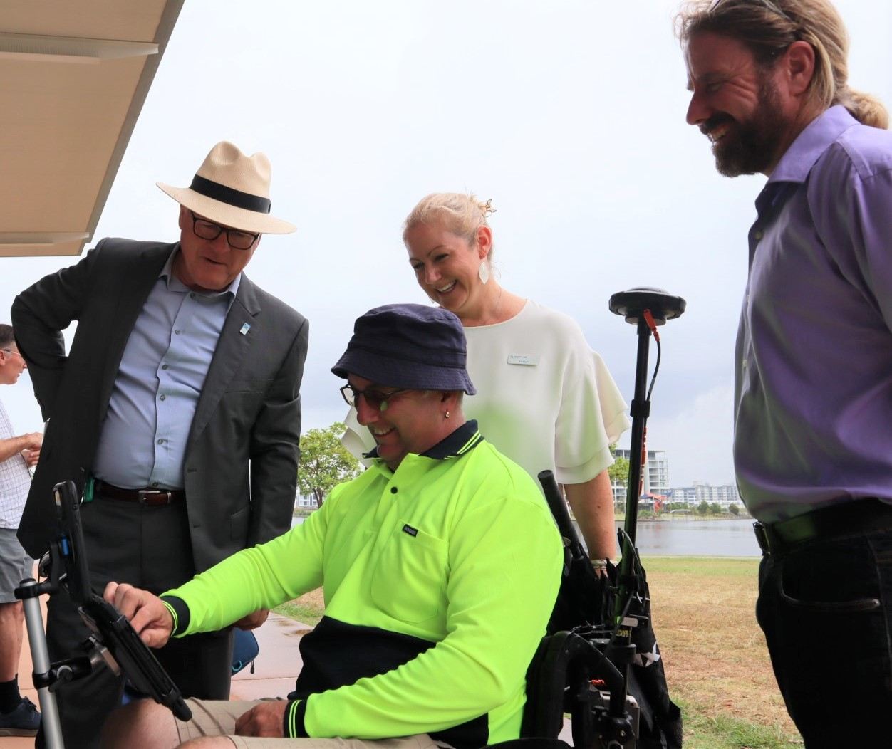
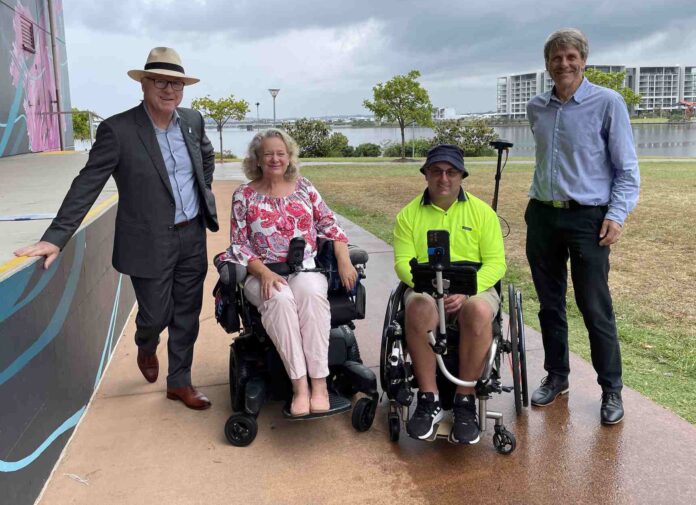
An award-winning project that helps people of all abilities travel around the region is being expanded.
The initiative started a year ago as a trial where specially trained ‘pilots’ backed by advanced technology tracked some of the region’s busiest routes.
It provided accessibility mapping for those living with a disability, using wheelchairs or using mobility aids to help plan their routes.
This led to the development of Sunshine Coast Council’s mobility maps, which also provide accessible tourism opportunities.
Sunshine Coast Council Mayor Mark Jamieson said he was pleased to announce the expansion of the project during 2023, which is the Year of Accessible Tourism in Queensland.
“The first maps focused on the popular area between Maroochydore to Mooloolaba and since then, more maps have been developed for the health precinct at Birtinya,” he said.
“Next to benefit (in March) will be the Sunshine Coast’s major sports precinct in Kawana and our hinterland areas.
“The project provides a clear solution for those with disabilities to plan and map their routes and is a comfort to travellers and visitors to our region with mobility issues in identifying where they can get to with ease.
“The mapping has been completed for the Sunshine Coast University Hospital health precinct and surrounds identifying 11 toilets, 84 parking bays and 20 bus stops along with monitoring the kerb ramps, wayfinding signs, street crossings, surface types and conditions.
“This area was mapped by the Department of Transport and Main Roads as a footpath condition and mobility assessment study, and kindly shared with council to help the community with their accessibility needs.
“Equity and inclusion are key values here at council and in our community, which is why this project has been essential in identifying accessible routes suitable for everyone.”
Sunshine Coast Council Community Portfolio Councillor David Law said he was pleased to see the revolutionary pilot project making speed.
“I’m really pleased to announce the next phase of this project includes the Caloundra area, Sunshine Coast Sports Stadium and Kawana Sports Precinct and the hinterland town of Maleny,” he said.
“The wheelchair pilots are back on the ground to capture these areas this month (March) and we hope to have these new maps online by mid-year.
“Briometrix, a leading provider of technology solutions for people with disabilities, said Sunshine Coast Council’s mapping data has covered more areas than any other council area or metropolitan city in Australia – this is an incredible achievement.
“We’ve come a long way since this project started as a trial in February 2022 and now the maps, on council’s website, show the most accessible routes, including footpaths, shared pathways, carparks, trails, toilets and ramps.

“It’s a valuable project supporting mums and dads with prams and toddlers in tow to the elderly, people using wheelchairs and mobility aids.”
Transport and Main Roads Minister Mark Bailey welcomed the project.
“We know that, on average, every dollar invested in active transport infrastructure will return nearly five dollars in economic benefit to Queensland with improved health outcomes, reduced traffic congestion and lower transport costs,” he said.
For more information about the pilot program visit the Briometrix website. For more information about access, inclusion and disability visit council’s website.
Help us deliver more news by registering for our free daily news feed. All it requires is your name and email. See SUBSCRIBE at the top of this article.


