
This winter is going to be one for the ages weather-wise, but plenty of rain over the typically drier season is not all we need to brace for, a leading long-range forecaster warns.
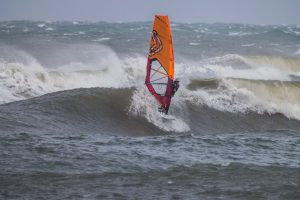
A dominant feature will be gale force winds (34-47 knots, 63-87km/h) that will intermittently bombard coastal districts over the next three months.
At different times, the blasts will come from the south-west, which will bring cooler temperatures, and south-east, which will whip up large seas and could lead to erosion along the foreshore.
In a season of stark contrasts, there will also be a series of fog events that will make it harder to get around, particularly early in the mornings.
Hayden Walker, a fourth-generation forecaster and son of world-renowned weather expert Lennox Walker, has revealed his predictions in an exclusive analysis for Sunshine Coast News.
It follows his highly accurate ‘Autumn Blast’ report that predicted power-packed winds, large seas in April and a deluge leading to flooding in May.
Mr Walker’s summer guide for SCN also was spot on, predicting storms, heavy rain and flash flooding for southern Queensland and a windy February.
So, what does he say we can expect during this season, which usually brings blue skies, drier conditions and bracing westerly winds?
June
From the second week of June, we should see rainfall building in coastal districts and spreading across South-East Queensland and to central and northern parts of the state.
The third week indicates a broad band of cloud from the north-west to the south-west, whereby moderate falls are indicated in a number of areas, particularly the south-west, extending to the central inland and continuing to the southern districts. Flash flooding will occur accordingly.
Strong winds, at times gale force, are indicated for coastal districts and fog will be prevalent, especially in the South-East.
July
Light scattered showers are indicated along the Queensland coastline with intermittent gale force winds.
At times, rain will increase in the south-east and on the far north coast but to a lesser extent than previous months.
At the end of the month, rainfall will be prevalent in the south-east.
SEQ can also expect heavy fogs during this time.
August
Rainfall during August will affect mainly the south-east, southern and central inland areas.
Once again, gale force winds are indicated intermittently along the Queensland coastline, with fog affecting a number of areas. Scattered thunderstorms are likely.
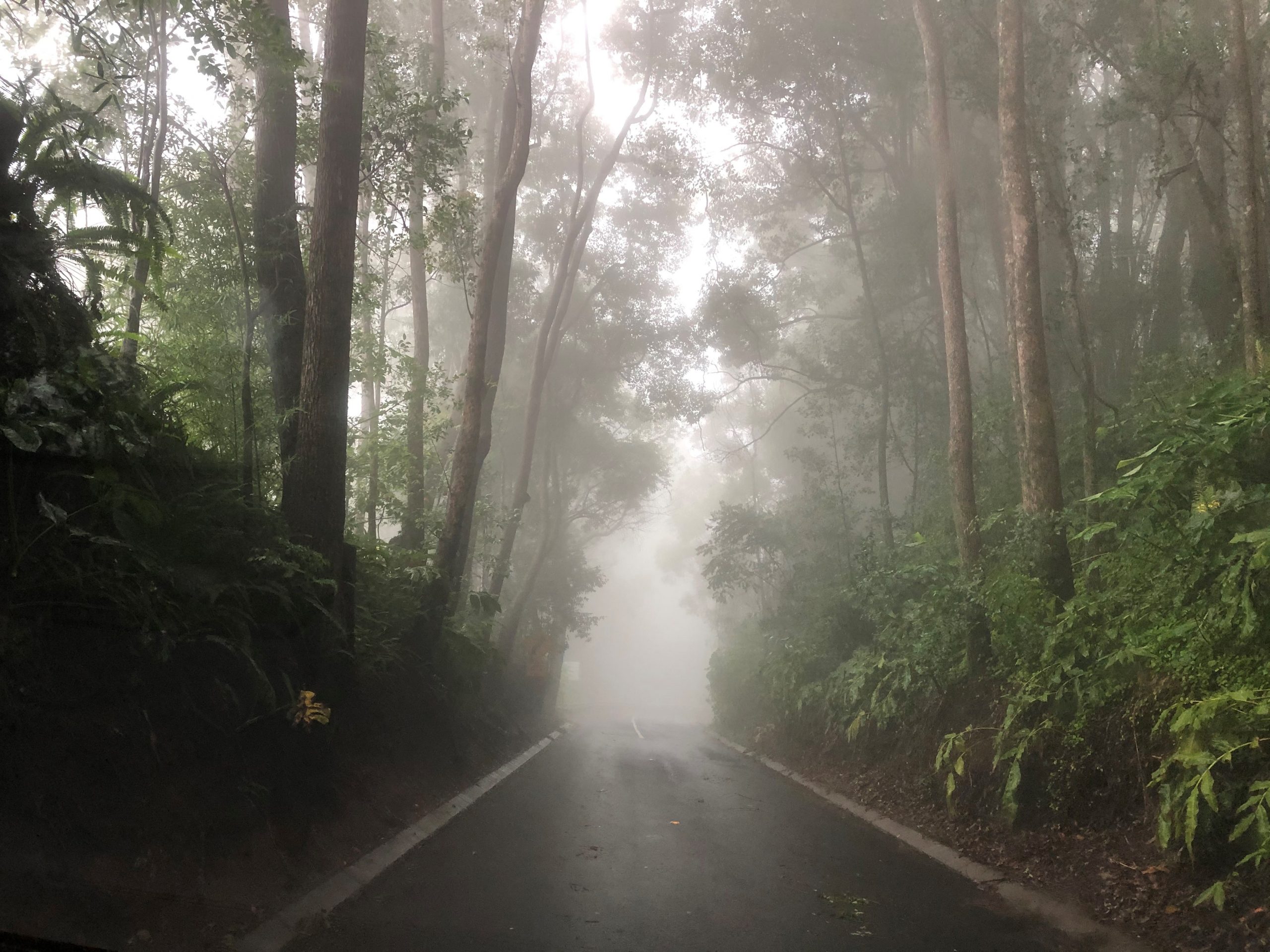
What causes fog?
Fog usually develops when rain falling from relatively warm air encounters drier and cooler air below, causing this air to saturate and condense. Such fogs can form rapidly and be very extensive.
Hayden’s national summary
Further rainfall is expected from now until the end of the month, with the main concentration in the southern states, although some activity is indicated for South-East Queensland and adjoining inland areas.
June rainfall is indicated for New South Wales, Victoria, the southern and western parts of South Australia, Western Australia, especially the Pilbara and Gascoyne, lower areas of the Northern Territory and Tasmania.
Strong and gale force winds are indicated on the Queensland coastline during June, with some heavy rains to the south-west and central inland causing flash flooding. Further rain and showers are indicated along the coastline.
For New South Wales, strong winds are indicated along the coastline, rising to gale force on the central and southern tablelands. Snow will be prevalent from about the 24th onwards.
Further rain and showers are indicated during June for many areas of New South Wales.
During July, further rain will fall in Western Australia’s southern regions, South Australia (mainly in south), Victoria, Tasmania and coastal and adjoining inland areas of New South Wales.
August sees most of New South Wales receiving rainfall, along with Victoria, Tasmania, parts of South Australia and southern parts of Western Australia. There will be heavy rain along the New South Wales coastline.
How it works
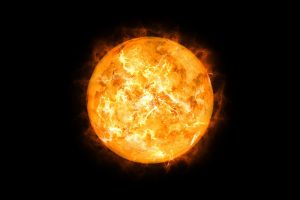
Hayden uses his knowledge of the sun, combined with patterns of sunspot activity and energy flow, to predict both the short and long-term future of weather worldwide, specialising in long range forecasts.
The sun has an ever-changing surface which accommodates large sunspots emitting solar radiation or magnetic fields, which react with the Earth’s magnetic field.
This causes a reaction with the poles, thus producing Northern Lights. An increase in sunspot activity, especially during a Solar Maximum, gives rise to weather extremes, such as flooding, cyclones and storms.
The reverse happens during a Solar Minimum, or a dormant period, when we experience droughts.
Hayden has been successful in predicting many major weather events – such as the cyclones Larry, Yasi, Marcia and Olwyn, flooding to the NSW coast during April 2015 and recent storm activity in Queensland and NSW.
He was the only long-range weather forecaster to predict Cyclone Oswald that brought heavy rains to New South Wales and Queensland, especially the floods to Bundaberg.
INFORMATION: haydenwalkersweather.com.au.
Get more stories like this direct to your inbox by subscribing to our FREE daily news feed: Go to SUBSCRIBE button at top of this article to register
